
Magnitude |
:2.3 |
| Date & Time (UTC) | 2015-04-05 15:04:33.1 |
| Date & Time (Local) | 1394/1/16 19:34:33.1 |
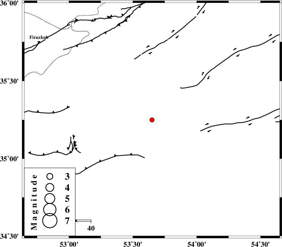
| Location | Lat:35.25 Lon: 53.65 |
| Region | Semnan Province, 41 km South-East of Semnan |
Nearest Cities |
|
| 35 km South East of Alae, Semnan Province | |
| 42 km South East of Semnan, Semnan Province | |
| 46 km South East of Sorkheh, Semnan Province | |
| 54 km South East of Lasjerd, Semnan Province | |
| 58 km South East of Mehdishahr, Semnan Province | |
| Depth | 18 km |
| Agency | |
Faults within 150 km: |
|
| KUH_E_GACHAB_F2 (Length: 31 km) , Distance to epicenter: 20 km | |
| KUH_E_GUGERD_F (Length: 73 km) , Distance to epicenter: 27 km | |
| TORUD_F (Length: 136 km) , Distance to epicenter: 37 km | |
| Number of Phases | 5 |
| RMS | 0 |
| Number of Stations | 5 |
| Error in Latitude | >2.5 km |
| Error in Longitude | 2.2 km |
| Error in Depth | 4.7 km |
Download waveform in seisan format
to download seisan software Click here
to access information about IIEES stations Click here
Amplitude | ||||||||
| UID | Agency | Station | Component | Amplitude | Period | Arrival Time | Proccessing Time | Signal Clip |
| 95341 | IIEES | DAMV | E | 22.9 | 0.12 | 2015-04-05 15:05:23 | 2015-04-06 02:55:00 | n |
| 95342 | IIEES | THKV | N | 35.7 | 0.76 | 2015-04-05 15:05:51 | 2015-04-06 02:55:00 | n |
Phase | ||||||||||||
| Agency | Station | Component | Phase Type | Phase Quality | First Motion | Observed Arrival Time | Time Residual | Loc. Flag | Input Weight | Distance | Azimuth | |
| IIEES | DAMV | Z | Pg | E | 2015-04-05 15:04:59 | -0.01 | y | 158 | 286 | |||
| IIEES | DAMV | E | Sg | E | 2015-04-05 15:05:18 | 0.02 | y | 158 | 286 | |||
| IIEES | SHRO | Z | P | E | 2015-04-05 15:05:09 | 0.03 | y | 230 | 68 | |||
| IIEES | CHTH | Z | Pn | E | 2015-04-05 15:05:10 | -0.06 | y | 240 | 288 | |||
| IIEES | YZKH | Z | Pn | E | 2015-04-05 15:05:21 | 0.01 | y | 329 | 164 | |||