
Magnitude |
:3 |
| Date & Time (UTC) | 2015-03-11 22:22:42.6 |
| Date & Time (Local) | 1393/12/21 01:52:42.6 |
| Location | Lat:34.81 Lon: 58.53 |
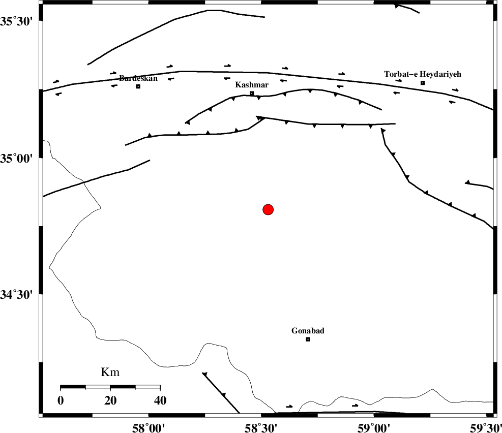
| Region | Khorasan(center) Province, 48 km South of Kashmar |
Nearest Cities |
|
| 8 km North of Yoonesi, Khorasan(center) Province | |
| 33 km North West of Omrani, Khorasan(center) Province | |
| 33 km South West of Feizabad, Khorasan(center) Province | |
| 35 km South West of Mahneh, Khorasan(center) Province | |
| 46 km North East of Bajestan, Khorasan(center) Province | |
| Depth | 14 km |
| Agency | |
Faults within 150 km: |
|
| MEHDIABAD_F (Length: 64 km) , Distance to epicenter: 34 km | |
| DUGHABAD_F (Length: 62 km) , Distance to epicenter: 38 km | |
| KASHMAR_F (Length: 91 km) , Distance to epicenter: 46 km | |
| Number of Phases | 6 |
| RMS | 0.1 |
| Number of Stations | 4 |
| Error in Latitude | >2.5 km |
| Error in Longitude | 1.2 km |
| Error in Depth | 4 km |
Download waveform in seisan format
to download seisan software Click here
to access information about IIEES stations Click here
Amplitude | ||||||||
| UID | Agency | Station | Component | Amplitude | Period | Arrival Time | Proccessing Time | Signal Clip |
| 95210 | IIEES | SHRT | N | 116.8 | 0.24 | 2015-03-11 22:23:44 | 2015-03-12 01:45:00 | n |
| 95211 | IIEES | SHRT | E | 126.7 | 0.28 | 2015-03-11 22:23:45 | 2015-03-12 01:45:00 | n |
| 95212 | IIEES | YZKH | E | 17.1 | 0.32 | 2015-03-11 22:24:59 | 2015-03-12 01:45:00 | n |
| 95213 | IIEES | YZKH | N | 18.3 | 0.4 | 2015-03-11 22:25:02 | 2015-03-12 01:45:00 | n |
Phase | ||||||||||||
| Agency | Station | Component | Phase Type | Phase Quality | First Motion | Observed Arrival Time | Time Residual | Loc. Flag | Input Weight | Distance | Azimuth | |
| IIEES | SHRT | Z | Pn | E | 2015-03-11 22:23:16 | 0.08 | y | 207 | 128 | |||
| IIEES | SHRT | E | Sg | E | 2015-03-11 22:23:41 | -0.06 | y | 207 | 128 | |||
| IIEES | SHRO | Z | Pn | E | 2015-03-11 22:23:23 | -0.05 | y | 265 | 301 | |||
| IIEES | BSRN | Z | Pn | E | 2015-03-11 22:23:30 | 0.01 | y | 320 | 170 | |||
| IIEES | YZKH | Z | Pn | E | 2015-03-11 22:23:46 | 0.05 | y | 453 | 235 | |||
| IIEES | YZKH | E | Sg | E | 2015-03-11 22:24:49 | -0.02 | y | 453 | 235 | |||