
Magnitude |
:3.1 |
| Date & Time (UTC) | 2015-02-11 01:49:12.9 |
| Date & Time (Local) | 1393/11/22 05:19:12.9 |
| Location | Lat:30.99 Lon: 48.57 |
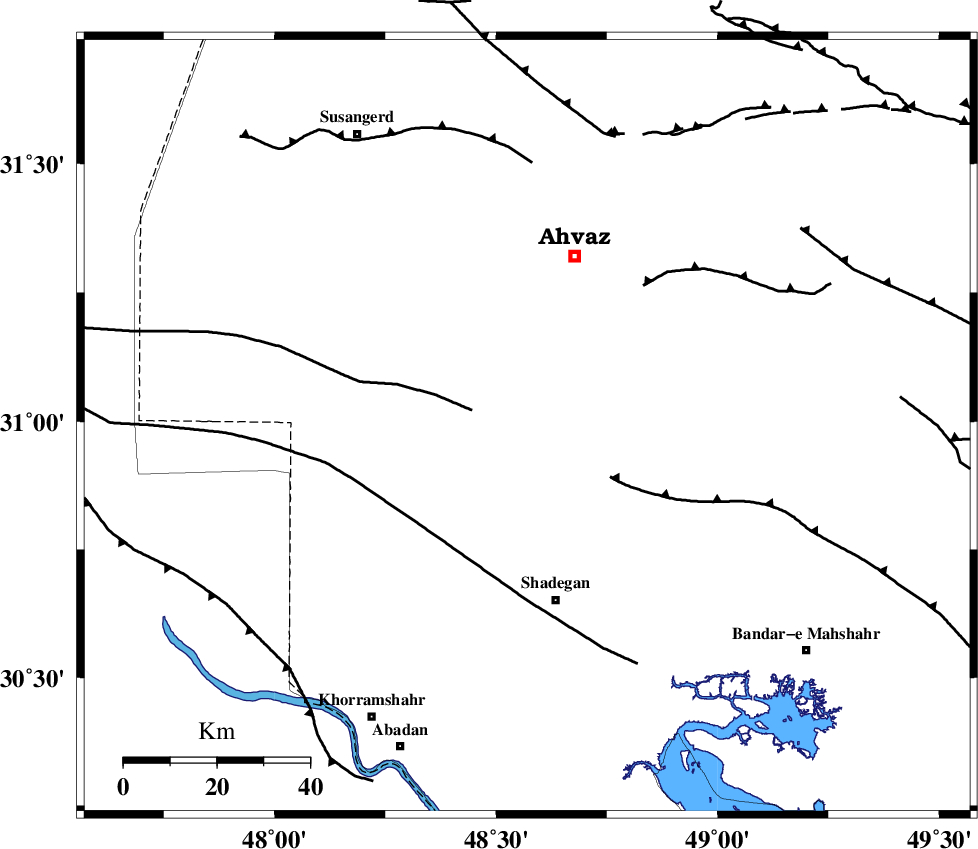
| Region | Khoozestan Province, 38 km North of Shadegan |
Nearest Cities |
|
| 17 km South of Abunangeh, Khoozestan Province | |
| 21 km South of Bahr, Khoozestan Province | |
| 31 km North West of Gharibeh, Khoozestan Province | |
| 31 km North East of Darkhovin, Khoozestan Province | |
| 38 km North of Shadegan, Khoozestan Province | |
| Depth | 14 km |
| Agency | |
Faults within 150 km: |
|
| AHVAZ_F (Length: 99 km) , Distance to epicenter: 41 km | |
| AGHAJARI_F (Length: 88 km) , Distance to epicenter: 67 km | |
| DEZFUL_EMBAYMENT (Length: 228 km) , Distance to epicenter: 116 km | |
| Number of Phases | 6 |
| RMS | 0.2 |
| Number of Stations | 5 |
| Error in Latitude | >5.6 km |
| Error in Longitude | 12 km |
| Error in Depth | 8 km |
Download waveform in seisan format
to download seisan software Click here
to access information about IIEES stations Click here
Amplitude | ||||||||
| UID | Agency | Station | Component | Amplitude | Period | Arrival Time | Proccessing Time | Signal Clip |
| 95009 | IIEES | SHGR | N | 430.7 | 0.28 | 2015-02-11 01:49:51 | 2015-02-11 03:24:00 | n |
| 95010 | IIEES | SHGR | E | 395 | 0.6 | 2015-02-11 01:49:55 | 2015-02-11 03:24:00 | n |
Phase | ||||||||||||
| Agency | Station | Component | Phase Type | Phase Quality | First Motion | Observed Arrival Time | Time Residual | Loc. Flag | Input Weight | Distance | Azimuth | |
| IIEES | SHGR | Z | Pg | E | 2015-02-11 01:49:33 | -0.26 | y | 127 | 10 | |||
| IIEES | SHGR | N | Sg | E | 2015-02-11 01:49:49 | 0.04 | y | 127 | 10 | |||
| IIEES | KHMZ | Z | Pn | E | 2015-02-11 01:50:02 | 0.3 | y | 333 | 23 | |||
| IIEES | ASAO | Z | Pn | E | 2015-02-11 01:50:12 | 0.05 | y | 418 | 19 | |||
| IIEES | NASN | Z | Pn | E | 2015-02-11 01:50:16 | -0.11 | y | 449 | 62 | |||
| IIEES | GHVR | Z | Pn | E | 2015-02-11 01:50:18 | -0.01 | y | 462 | 32 | |||