
Magnitude |
:2.8 |
| Date & Time (UTC) | 2015-01-12 13:18:03.2 |
| Date & Time (Local) | 1393/10/22 16:48:03.2 |
| Location | Lat:30.15 Lon: 51.84 |
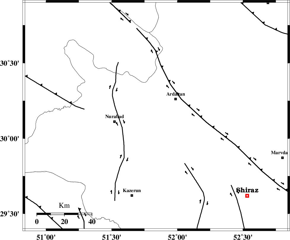
| Region | Fars Province, 19 km South-West of Ardakan |
Nearest Cities |
|
| 19 km West of Bahrghan, Fars Province | |
| 19 km South West of Ardakan, Fars Province | |
| 30 km North East of Gachgaran, Fars Province | |
| 31 km North East of Nurabad, Fars Province | |
| 33 km South of Kamhar, Fars Province | |
| Depth | 17 km |
| Agency | |
Faults within 150 km: |
|
| HZF3 (Length: 197 km) , Distance to epicenter: 22 km | |
| KAZERUN_F (Length: 96 km) , Distance to epicenter: 26 km | |
| KAREBASS_F (Length: 98 km) , Distance to epicenter: 41 km | |
| Number of Phases | 5 |
| RMS | 0.1 |
| Number of Stations | 3 |
| Error in Latitude | >3 km |
| Error in Longitude | 9.2 km |
| Error in Depth | 3.9 km |
Download waveform in seisan format
to download seisan software Click here
to access information about IIEES stations Click here
Amplitude | ||||||||
| UID | Agency | Station | Component | Amplitude | Period | Arrival Time | Proccessing Time | Signal Clip |
| 94765 | IIEES | AHRM | N | 187.5 | 0.48 | 2015-01-12 13:18:51 | 2015-01-12 01:47:00 | n |
| 94766 | IIEES | AHRM | E | 140.9 | 0.4 | 2015-01-12 13:18:51 | 2015-01-12 01:47:00 | n |
Phase | ||||||||||||
| Agency | Station | Component | Phase Type | Phase Quality | First Motion | Observed Arrival Time | Time Residual | Loc. Flag | Input Weight | Distance | Azimuth | |
| IIEES | AHRM | Z | Pn | E | 2015-01-12 13:18:29 | -0.13 | y | 151 | 200 | |||
| IIEES | AHRM | E | Sg | E | 2015-01-12 13:18:46 | 0.06 | y | 151 | 200 | |||
| IIEES | NASN | Z | Pn | E | 2015-01-12 13:18:49 | 0.14 | y | 308 | 17 | |||
| IIEES | NASN | N | Sg | E | 2015-01-12 13:19:30 | -0.06 | y | 308 | 17 | |||
| IIEES | YZKH | N | Pn | E | 2015-01-12 13:18:55 | 0 | y | 362 | 46 | |||