
Magnitude |
:3.9 |
| Date & Time (UTC) | 2015-01-05 02:37:49.2 |
| Date & Time (Local) | 1393/10/15 06:07:49.2 |
| Location | Lat:32.95 Lon: 47.22 |
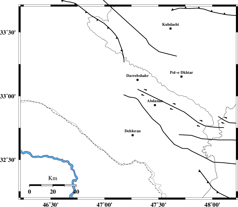
| Region | Ilam Province, 21 km South of Darreh Shahr |
Nearest Cities |
|
| 21 km South of Darreh Shahr, Ilam Province | |
| 23 km North West of Abdanan, Ilam Province | |
| 26 km South West of Dashtabad-e olia, Ilam Province | |
| 27 km North East of Bishehzar, Ilam Province | |
| 29 km North of Dehloran, Ilam Province | |
| Depth | 17 km |
| Agency | |
Faults within 150 km: |
|
| BALARUD_F_Z1 (Length: 87 km) , Distance to epicenter: 14 km | |
| MFF6 (Length: 144 km) , Distance to epicenter: 21 km | |
| MFF7 (Length: 99 km) , Distance to epicenter: 71 km | |
| Number of Phases | 6 |
| RMS | 0.1 |
| Number of Stations | 6 |
| Error in Latitude | >2.3 km |
| Error in Longitude | 5.7 km |
| Error in Depth | 2.8 km |
Download waveform in seisan format
to download seisan software Click here
to access information about IIEES stations Click here
Amplitude | ||||||||
| UID | Agency | Station | Component | Amplitude | Period | Arrival Time | Proccessing Time | Signal Clip |
| 94696 | IIEES | AHRM | N | 62.3 | 0.4 | 2015-01-05 02:40:11 | 2015-01-05 02:59:00 | n |
| 94697 | IIEES | AHRM | E | 51.7 | 0.44 | 2015-01-05 02:40:25 | 2015-01-05 02:59:00 | n |
Phase | ||||||||||||
| Agency | Station | Component | Phase Type | Phase Quality | First Motion | Observed Arrival Time | Time Residual | Loc. Flag | Input Weight | Distance | Azimuth | |
| IIEES | SHGR | Z | Pg | E | 2015-01-05 02:38:18 | 0 | y | 176 | 122 | |||
| IIEES | SNGE | Z | Pn | E | 2015-01-05 02:38:26 | 0 | y | 238 | 3 | |||
| IIEES | SNGE | N | Sg | E | 2015-01-05 02:38:56 | -0.01 | y | 238 | 3 | |||
| IIEES | KHMZ | Z | Pn | E | 2015-01-05 02:38:30 | -0.02 | y | 270 | 70 | |||
| IIEES | ASAO | Z | Pn | E | 2015-01-05 02:38:35 | 0.11 | y | 315 | 55 | |||
| IIEES | GHVR | Z | Pn | E | 2015-01-05 02:38:47 | -0.1 | y | 410 | 64 | |||