
Magnitude |
:3.5 |
| Date & Time (UTC) | 2014-12-10 07:59:03.2 |
| Date & Time (Local) | 1393/9/19 11:29:03.2 |
| Location | Lat:31.49 Lon: 50.58 |
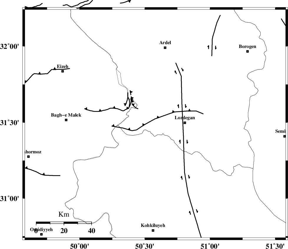
| Region | Chaharmahal Bakhtiari Province, 21 km West of Lordegan |
Nearest Cities |
|
| 22 km West of Lordegan, Chaharmahal Bakhtiari Province | |
| 24 km North of Pataveh, Kohkiluieh va boyerahmad Province | |
| 26 km South West of Armand-e olia, Chaharmahal Bakhtiari Province | |
| 28 km North East of Dishmuk, Kohkiluieh va boyerahmad Province | |
| 29 km North West of Sardasht, Chaharmahal Bakhtiari Province | |
| Depth | 14 km |
| Agency | |
Faults within 150 km: |
|
| SABZKUH_F (Length: 67 km) , Distance to epicenter: 26 km | |
| MFF2 (Length: 205 km) , Distance to epicenter: 39 km | |
| DOPOLAN_F (Length: 107 km) , Distance to epicenter: 41 km | |
| Number of Phases | 7 |
| RMS | 0.1 |
| Number of Stations | 5 |
| Error in Latitude | >2.6 km |
| Error in Longitude | 2.8 km |
| Error in Depth | 6.5 km |
Download waveform in seisan format
to download seisan software Click here
to access information about IIEES stations Click here
Amplitude | ||||||||
| UID | Agency | Station | Component | Amplitude | Period | Arrival Time | Proccessing Time | Signal Clip |
| 94492 | IIEES | SHGR | N | 506.6 | 0.46 | 2014-12-10 08:00:09 | 2014-12-10 10:34:00 | n |
| 94493 | IIEES | ASAO | N | 125 | 0.94 | 2014-12-10 08:00:39 | 2014-12-10 10:34:00 | n |
Phase | ||||||||||||
| Agency | Station | Component | Phase Type | Phase Quality | First Motion | Observed Arrival Time | Time Residual | Loc. Flag | Input Weight | Distance | Azimuth | |
| IIEES | SHGR | Z | Pg | E | 2014-12-10 07:59:32 | -0.19 | y | 182 | 292 | |||
| IIEES | SHGR | E | Sg | E | 2014-12-10 07:59:55 | 0.13 | y | 182 | 292 | |||
| IIEES | NASN | Z | Pn | E | 2014-12-10 07:59:43 | 0.15 | y | 255 | 55 | |||
| IIEES | GHVR | Z | Pn | E | 2014-12-10 07:59:52 | 0 | y | 337 | 10 | |||
| IIEES | ASAO | Z | Pn | E | 2014-12-10 07:59:53 | 0.09 | y | 343 | 351 | |||
| IIEES | ASAO | E | Sg | E | 2014-12-10 08:00:39 | -0.08 | y | 343 | 351 | |||
| IIEES | YZKH | Z | Pn | E | 2014-12-10 07:59:59 | -0.13 | y | 392 | 74 | |||