
Magnitude |
:2.3 |
| Date & Time (UTC) | 2014-12-05 22:48:14.4 |
| Date & Time (Local) | 1393/9/15 02:18:14.4 |
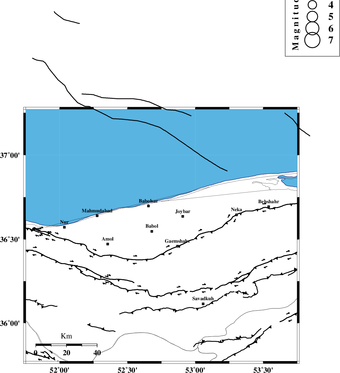
| Location | Lat:36.52 Lon: 52.75 |
| Region | Mazandaran Province, 6 km Babol |
Nearest Cities |
|
| 6 km North of Sangtab, Mazandaran Province | |
| 7 km of Babol, Mazandaran Province | |
| 12 km of Amirkola, Mazandaran Province | |
| 13 km North West of Qaemshahr, Mazandaran Province | |
| 13 km South of Azizak, Mazandaran Province | |
| Depth | 37 km |
| Agency | |
Faults within 150 km: |
|
| KHAZAR_F (Length: 523 km) , Distance to epicenter: 12 km | |
| N_ALBORZ_F (Length: 360 km) , Distance to epicenter: 38 km | |
| KANDOVAN_F (Length: 90 km) , Distance to epicenter: 91 km | |
| Number of Phases | 6 |
| RMS | 0.2 |
| Number of Stations | 3 |
| Error in Latitude | >5.5 km |
| Error in Longitude | 4.7 km |
| Error in Depth | 6.3 km |
Download waveform in seisan format
to download seisan software Click here
to access information about IIEES stations Click here
Amplitude | ||||||||
| UID | Agency | Station | Component | Amplitude | Period | Arrival Time | Proccessing Time | Signal Clip |
| 94457 | IIEES | THKV | N | 30.2 | 0.51 | 2014-12-05 22:49:07 | 2014-12-06 12:22:00 | n |
Phase | ||||||||||||
| Agency | Station | Component | Phase Type | Phase Quality | First Motion | Observed Arrival Time | Time Residual | Loc. Flag | Input Weight | Distance | Azimuth | |
| IIEES | DAMV | Z | Pg | E | 2014-12-05 22:48:34 | -0.22 | y | 121 | 215 | |||
| IIEES | DAMV | E | Sg | E | 2014-12-05 22:48:50 | 0.1 | y | 121 | 215 | |||
| IIEES | CHTH | Z | Pg | E | 2014-12-05 22:48:41 | 0.22 | y | 161 | 245 | |||
| IIEES | CHTH | N | Sg | E | 2014-12-05 22:49:00 | 0.08 | y | 161 | 245 | |||
| IIEES | THKV | Z | Pn | E | 2014-12-05 22:48:42 | 0.01 | y | 181 | 249 | |||
| IIEES | THKV | N | Sg | E | 2014-12-05 22:49:05 | -0.19 | y | 181 | 249 | |||