
Magnitude |
:2.8 |
| Date & Time (UTC) | 2014-11-27 11:04:28.4 |
| Date & Time (Local) | 1393/9/6 14:34:28.4 |
| Location | Lat:33.13 Lon: 49.27 |
| Region | Lorestan Province, 41 km South-West of Azna |
Nearest Cities |
|
| 11 km of Shulabad, Lorestan Province | |
| 32 km North West of Parchal, Lorestan Province | |
| 33 km North East of Bargsar, Lorestan Province | |
| 33 km South East of Sartang barzeh, Lorestan Province | |
| 35 km South of Darband, Lorestan Province | |
| Depth | 16 km |
| Agency | |
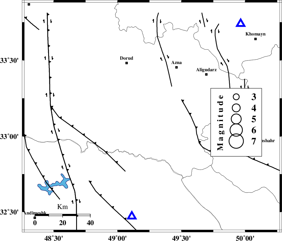
Faults within 150 km: |
|
| HZF4 (Length: 492 km) , Distance to epicenter: 10 km | |
| DORUD (Length: 100 km) , Distance to epicenter: 25 km | |
| MAIN_ZAGROS_R_F (Length: 1106 km) , Distance to epicenter: 27 km | |
| Number of Phases | 5 |
| RMS | 0 |
| Number of Stations | 5 |
| Error in Latitude | >2.6 km |
| Error in Longitude | 3 km |
| Error in Depth | 4.9 km |
Download waveform in seisan format
to download seisan software Click here
to access information about IIEES stations Click here
Amplitude | ||||||||
| UID | Agency | Station | Component | Amplitude | Period | Arrival Time | Proccessing Time | Signal Clip |
| 94389 | IIEES | ASAO | N | 133.6 | 0.6 | 2014-11-27 11:05:27 | 2014-11-27 11:31:00 | n |
| 94390 | IIEES | ASAO | E | 121.5 | 0.6 | 2014-11-27 11:05:29 | 2014-11-27 11:31:00 | n |
| 94391 | IIEES | GHVR | E | 63.6 | 0.44 | 2014-11-27 11:05:50 | 2014-11-27 11:31:00 | n |
Phase | ||||||||||||
| Agency | Station | Component | Phase Type | Phase Quality | First Motion | Observed Arrival Time | Time Residual | Loc. Flag | Input Weight | Distance | Azimuth | |
| IIEES | KHMZ | Z | Pg | E | 2014-11-27 11:04:44 | -0.01 | y | 93.7 | 43 | |||
| IIEES | ASAO | Z | Pn | E | 2014-11-27 11:04:57 | -0.02 | y | 172 | 24 | |||
| IIEES | ASAO | N | Sg | E | 2014-11-27 11:05:17 | 0.01 | y | 172 | 24 | |||
| IIEES | SNGE | Z | Pn | E | 2014-11-27 11:05:11 | 0.01 | y | 281 | 321 | |||
| IIEES | NASN | Z | Pn | E | 2014-11-27 11:05:17 | 0.01 | y | 332 | 95 | |||