
Magnitude |
:3.3 |
| Date & Time (UTC) | 2014-11-18 15:22:50.4 |
| Date & Time (Local) | 1393/8/27 18:52:50.4 |
| Location | Lat:35.93 Lon: 52.96 |
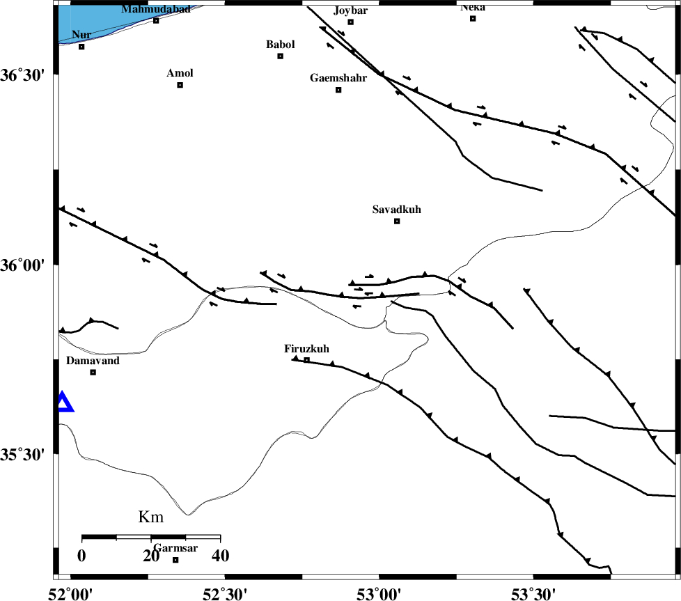
| Region | Mazandaran Province, 23 km South of Pol-E-Sefid |
Nearest Cities |
|
| 18 km South of Elahband, Mazandaran Province | |
| 19 km South East of Alasht, Mazandaran Province | |
| 20 km South of Shurmast-e peyrudbar, Mazandaran Province | |
| 22 km South of Pol-E-Sefid, Mazandaran Province | |
| 27 km North East of Firuzkuh, Tehran Province | |
| Depth | 14 km |
| Agency | |
Faults within 150 km: |
|
| ATARI_F (Length: 185 km) , Distance to epicenter: 26 km | |
| N_ALBORZ_F (Length: 360 km) , Distance to epicenter: 29 km | |
| MOSHA_F (Length: 234 km) , Distance to epicenter: 39 km | |
| Number of Phases | 6 |
| RMS | 0.1 |
| Number of Stations | 6 |
| Error in Latitude | >4.8 km |
| Error in Longitude | 3.6 km |
| Error in Depth | 5.2 km |
Download waveform in seisan format
to download seisan software Click here
to access information about IIEES stations Click here
Amplitude | ||||||||
| UID | Agency | Station | Component | Amplitude | Period | Arrival Time | Proccessing Time | Signal Clip |
| 94315 | IIEES | GHVR | N | 144.2 | 0.56 | 2014-11-18 15:24:01 | 2014-11-18 03:48:00 | n |
| 94316 | IIEES | GHVR | E | 446.5 | 0.88 | 2014-11-18 15:24:07 | 2014-11-18 03:48:00 | n |
| 94317 | IIEES | YZKH | E | 31.3 | 0.52 | 2014-11-18 15:24:55 | 2014-11-18 03:48:00 | n |
Phase | ||||||||||||
| Agency | Station | Component | Phase Type | Phase Quality | First Motion | Observed Arrival Time | Time Residual | Loc. Flag | Input Weight | Distance | Azimuth | |
| IIEES | DAMV | Z | Pg | E | 2014-11-18 15:23:06 | 0.06 | y | 95.3 | 250 | |||
| IIEES | CHTH | Z | Pg | E | 2014-11-18 15:23:17 | -0.13 | y | 166 | 270 | |||
| IIEES | GHVR | Z | Pg | E | 2014-11-18 15:23:27 | -0.01 | y | 224 | 225 | |||
| IIEES | ASAO | Z | Pn | E | 2014-11-18 15:23:36 | 0.14 | y | 308 | 241 | |||
| IIEES | YZKH | Z | Pn | E | 2014-11-18 15:23:50 | -0.17 | y | 420 | 159 | |||
| IIEES | TABS | Z | Pn | E | 2014-11-18 15:23:55 | 0.1 | y | 457 | 122 | |||