
Magnitude |
:3 |
| Date & Time (UTC) | 2014-11-18 01:07:49.4 |
| Date & Time (Local) | 1393/8/27 04:37:49.4 |
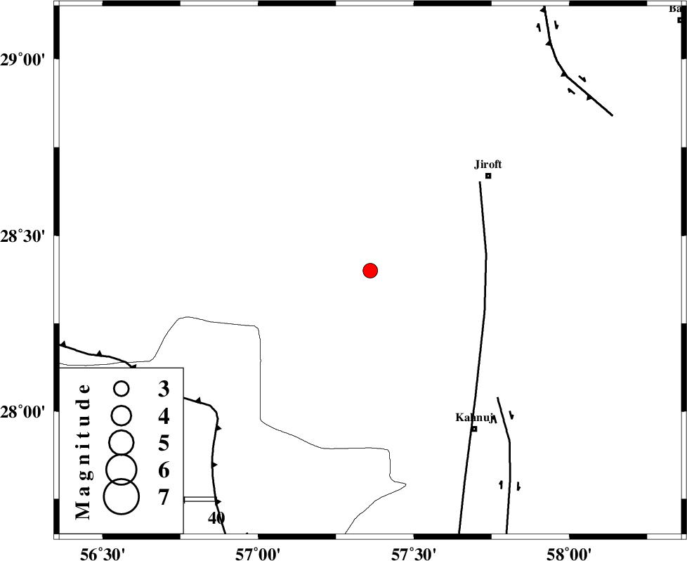
| Location | Lat:28.4 Lon: 57.36 |
| Region | Kerman Province, 48 km South-West of Jiroft |
Nearest Cities |
|
| 23 km North of Hurpasefid, Kerman Province | |
| 28 km North West of Bolock, Kerman Province | |
| 35 km North of Mehrueye-e paeen, Kerman Province | |
| 38 km North of Faryab, Kerman Province | |
| 39 km South West of Khatunabad-e zangian, Kerman Province | |
| Depth | 15 km |
| Agency | |
Faults within 150 km: |
|
| SABZEVARAN_F (Length: 190 km) , Distance to epicenter: 37 km | |
| JIROFT_F (Length: 144 km) , Distance to epicenter: 57 km | |
| MAIN_ZAGROS_R_F (Length: 1106 km) , Distance to epicenter: 66 km | |
| Number of Phases | 5 |
| RMS | 0.2 |
| Number of Stations | 6 |
| Error in Latitude | >3.6 km |
| Error in Longitude | 1.7 km |
| Error in Depth | 0 km |
Download waveform in seisan format
to download seisan software Click here
to access information about IIEES stations Click here
Amplitude | ||||||||
| UID | Agency | Station | Component | Amplitude | Period | Arrival Time | Proccessing Time | Signal Clip |
| 94311 | IIEES | BNDS | N | 221.4 | 0.44 | 2014-11-18 01:08:41 | 2014-11-18 01:38:00 | n |
| 94312 | IIEES | KRBR | N | 156.7 | 0.32 | 2014-11-18 01:08:40 | 2014-11-18 01:38:00 | n |
Phase | ||||||||||||
| Agency | Station | Component | Phase Type | Phase Quality | First Motion | Observed Arrival Time | Time Residual | Loc. Flag | Input Weight | Distance | Azimuth | |
| IIEES | BNDS | Z | Pn | E | 2014-11-18 01:08:17 | 0.13 | y | 161 | 227 | |||
| IIEES | ZHSF | Z | Pn | E | 2014-11-18 01:08:41 | -0.22 | y | 359 | 67 | |||
| IIEES | GHIR | Z | Pn | E | 2014-11-18 01:08:50 | -0.16 | y | 429 | 269 | |||
| IIEES | BSRN | Z | Pn | E | 2014-11-18 01:08:50 | 0.35 | y | 431 | 23 | |||
| IIEES | YZKH | Z | Pn | E | 2014-11-18 01:09:01 | -0.15 | y | 516 | 330 | |||