
Magnitude |
:2.9 |
| Date & Time (UTC) | 2014-11-15 19:29:27.4 |
| Date & Time (Local) | 1393/8/24 22:59:27.4 |
| Location | Lat:30.13 Lon: 50.26 |
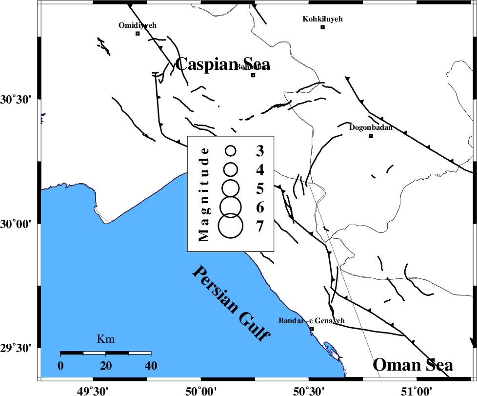
| Region | Khoozestan Province, 52 km South of Behbahan |
Nearest Cities |
|
| 8 km of Ameri, Bushehr Province | |
| 10 km North of Siyahmakan-e bozorg, Bushehr Province | |
| 21 km South of Sardasht, Khoozestan Province | |
| 32 km South East of Darunak, Khoozestan Province | |
| 32 km North of Emamhasan, Bushehr Province | |
| Depth | 31 km |
| Agency | |
Faults within 150 km: |
|
| RAG_E_SEFID_F (Length: 84 km) , Distance to epicenter: 9 km | |
| ZFF3 (Length: 125 km) , Distance to epicenter: 11 km | |
| MISHAN_F (Length: 76 km) , Distance to epicenter: 61 km | |
| Number of Phases | 5 |
| RMS | 0 |
| Number of Stations | 4 |
| Error in Latitude | >3.4 km |
| Error in Longitude | 8.4 km |
| Error in Depth | 5.4 km |
Download waveform in seisan format
to download seisan software Click here
to access information about IIEES stations Click here
Amplitude | ||||||||
| UID | Agency | Station | Component | Amplitude | Period | Arrival Time | Proccessing Time | Signal Clip |
| 94279 | IIEES | AHRM | E | 151 | 0.48 | 2014-11-15 19:30:28 | 2014-11-15 07:50:00 | n |
| 94280 | IIEES | AHRM | N | 155.5 | 0.6 | 2014-11-15 19:30:28 | 2014-11-15 07:50:00 | n |
Phase | ||||||||||||
| Agency | Station | Component | Phase Type | Phase Quality | First Motion | Observed Arrival Time | Time Residual | Loc. Flag | Input Weight | Distance | Azimuth | |
| IIEES | AHRM | Z | Pg | E | 2014-11-15 19:29:55 | -0.01 | y | 172 | 144 | |||
| IIEES | AHRM | N | Sg | E | 2014-11-15 19:30:15 | 0.01 | y | 172 | 144 | |||
| IIEES | GHIR | Z | Pn | E | 2014-11-15 19:30:15 | 0.01 | y | 334 | 127 | |||
| IIEES | YZKH | Z | Pn | E | 2014-11-15 19:30:33 | 0.04 | y | 483 | 58 | |||
| IIEES | KRBR | Z | Pn | E | 2014-11-15 19:30:51 | -0.07 | y | 627 | 90 | |||