
Magnitude |
:3.5 |
| Date & Time (UTC) | 2014-11-12 01:40:37.4 |
| Date & Time (Local) | 1393/8/21 05:10:37.4 |
| Location | Lat:35.35 Lon: 54.25 |
| Region | Semnan Province, 91 km South-West of Damghan |
Nearest Cities |
|
| 72 km South East of Alae, Semnan Province | |
| 76 km South East of Amirabad, Semnan Province | |
| 79 km South East of Darvar, Semnan Province | |
| 79 km South of Seydabad, Semnan Province | |
| 81 km South East of Semnan, Semnan Province | |
| Depth | 14 km |
| Agency | |
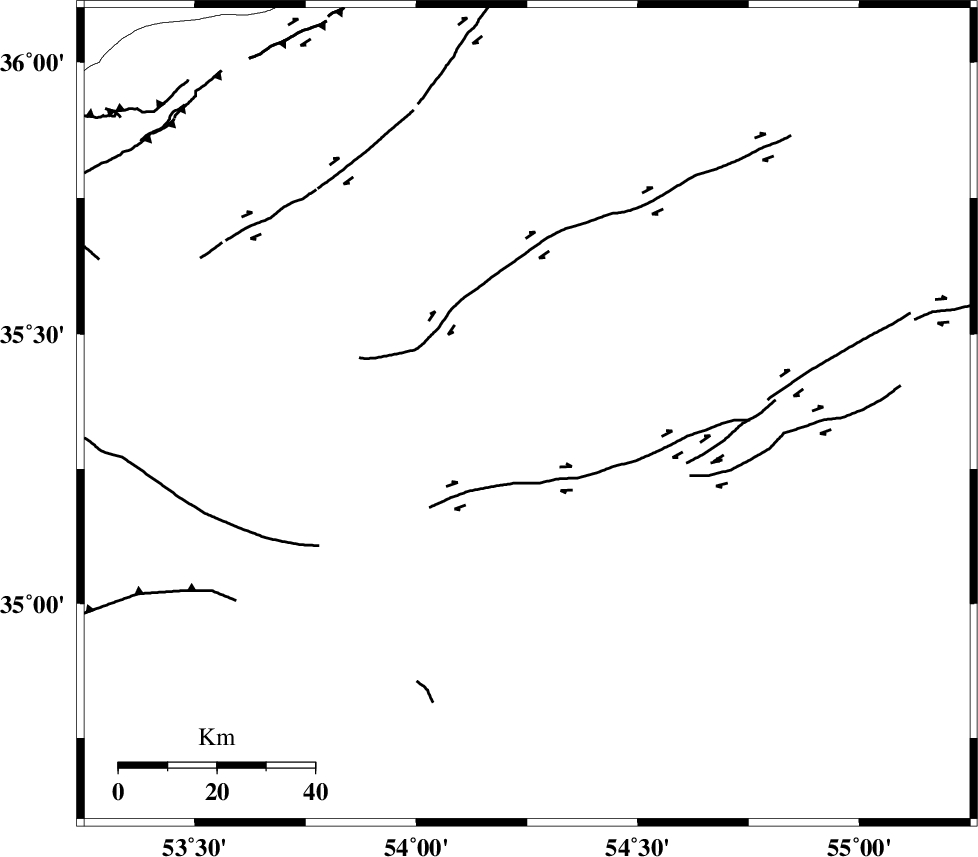
Faults within 150 km: |
|
| TORUD_F (Length: 136 km) , Distance to epicenter: 13 km | |
| ATARI_F (Length: 185 km) , Distance to epicenter: 66 km | |
| KUH_E_GUGERD_F (Length: 73 km) , Distance to epicenter: 71 km | |
| Number of Phases | 8 |
| RMS | 0.3 |
| Number of Stations | 7 |
| Error in Latitude | >3.6 km |
| Error in Longitude | 4.3 km |
| Error in Depth | 7.5 km |
Download waveform in seisan format
to download seisan software Click here
to access information about IIEES stations Click here
Amplitude | ||||||||
| UID | Agency | Station | Component | Amplitude | Period | Arrival Time | Proccessing Time | Signal Clip |
| 94261 | IIEES | GHVR | N | 130.5 | 0.68 | 2014-11-12 01:42:17 | 2014-11-12 02:16:00 | n |
| 94262 | IIEES | THKV | N | 233.8 | 0.72 | 2014-11-12 01:42:10 | 2014-11-12 02:16:00 | n |
Phase | ||||||||||||
| Agency | Station | Component | Phase Type | Phase Quality | First Motion | Observed Arrival Time | Time Residual | Loc. Flag | Input Weight | Distance | Azimuth | |
| IIEES | DAMV | Z | Pg | E | 2014-11-12 01:41:11 | -0.18 | y | 209 | 279 | |||
| IIEES | CHTH | Z | Pn | E | 2014-11-12 01:41:21 | 0.17 | y | 289 | 283 | |||
| IIEES | GHVR | Z | Pn | E | 2014-11-12 01:41:21 | 0.14 | y | 291 | 251 | |||
| IIEES | THKV | Z | Pn | E | 2014-11-12 01:41:23 | -0.01 | y | 311 | 283 | |||
| IIEES | NASN | N | Sg | E | 2014-11-12 01:42:05 | 0.14 | y | 313 | 206 | |||
| IIEES | TABS | Z | Pn | E | 2014-11-12 01:41:25 | -0.32 | y | 324 | 125 | |||
| IIEES | ASAO | Z | Pn | E | 2014-11-12 01:41:34 | 0.45 | y | 396 | 258 | |||
| IIEES | ASAO | N | Sg | E | 2014-11-12 01:42:27 | -0.38 | y | 396 | 258 | |||