
Magnitude |
:2.7 |
| Date & Time (UTC) | 2014-10-30 04:55:38.9 |
| Date & Time (Local) | 1393/8/8 08:25:38.9 |
| Location | Lat:28.52 Lon: 57.61 |
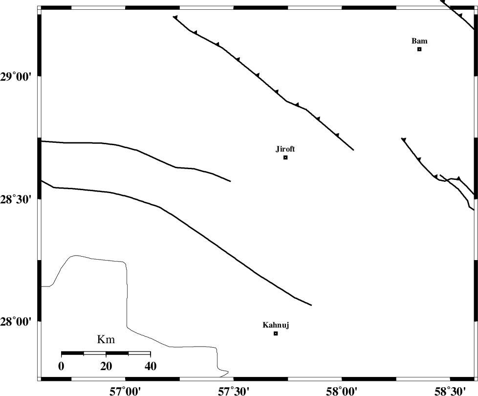
| Region | Kerman Province, 22 km South-West of Jiroft |
Nearest Cities |
|
| 11 km of Khatunabad-e zangian, Kerman Province | |
| 21 km South West of Jiroft, Kerman Province | |
| 22 km North West of Khesrabad, Kerman Province | |
| 22 km West of Dolatabad, Kerman Province | |
| 27 km North West of Aliabad-e qadiri, Kerman Province | |
| Depth | 44 km |
| Agency | |
Faults within 150 km: |
|
| SABZEVARAN_F (Length: 190 km) , Distance to epicenter: 15 km | |
| JIROFT_F (Length: 144 km) , Distance to epicenter: 55 km | |
| GOWK_F (Length: 152 km) , Distance to epicenter: 61 km | |
| Number of Phases | 5 |
| RMS | 0 |
| Number of Stations | 3 |
| Error in Latitude | >1.5 km |
| Error in Longitude | 5.1 km |
| Error in Depth | 4.2 km |
Download waveform in seisan format
to download seisan software Click here
to access information about IIEES stations Click here
Amplitude | ||||||||
| UID | Agency | Station | Component | Amplitude | Period | Arrival Time | Proccessing Time | Signal Clip |
| 94126 | IIEES | KRBR | N | 80.3 | 0.29 | 2014-10-30 04:56:34 | 2014-10-30 12:18:00 | n |
| 94127 | IIEES | BNDS | N | 66.4 | 0.48 | 2014-10-30 04:56:42 | 2014-10-30 12:18:00 | n |
Phase | ||||||||||||
| Agency | Station | Component | Phase Type | Phase Quality | First Motion | Observed Arrival Time | Time Residual | Loc. Flag | Input Weight | Distance | Azimuth | |
| IIEES | KRBR | Z | Pn | E | 2014-10-30 04:56:06 | -0.05 | y | 182 | 333 | |||
| IIEES | KRBR | N | Sg | E | 2014-10-30 04:56:30 | 0.02 | y | 182 | 333 | |||
| IIEES | BNDS | Z | Pn | E | 2014-10-30 04:56:07 | 0.05 | y | 188 | 229 | |||
| IIEES | BNDS | N | Sg | E | 2014-10-30 04:56:32 | -0.02 | y | 188 | 229 | |||
| IIEES | BSRN | Z | Pn | E | 2014-10-30 04:56:34 | 0 | y | 410 | 21 | |||