
Magnitude |
:2.6 |
| Date & Time (UTC) | 2014-10-29 08:10:18.3 |
| Date & Time (Local) | 1393/8/7 11:40:18.3 |
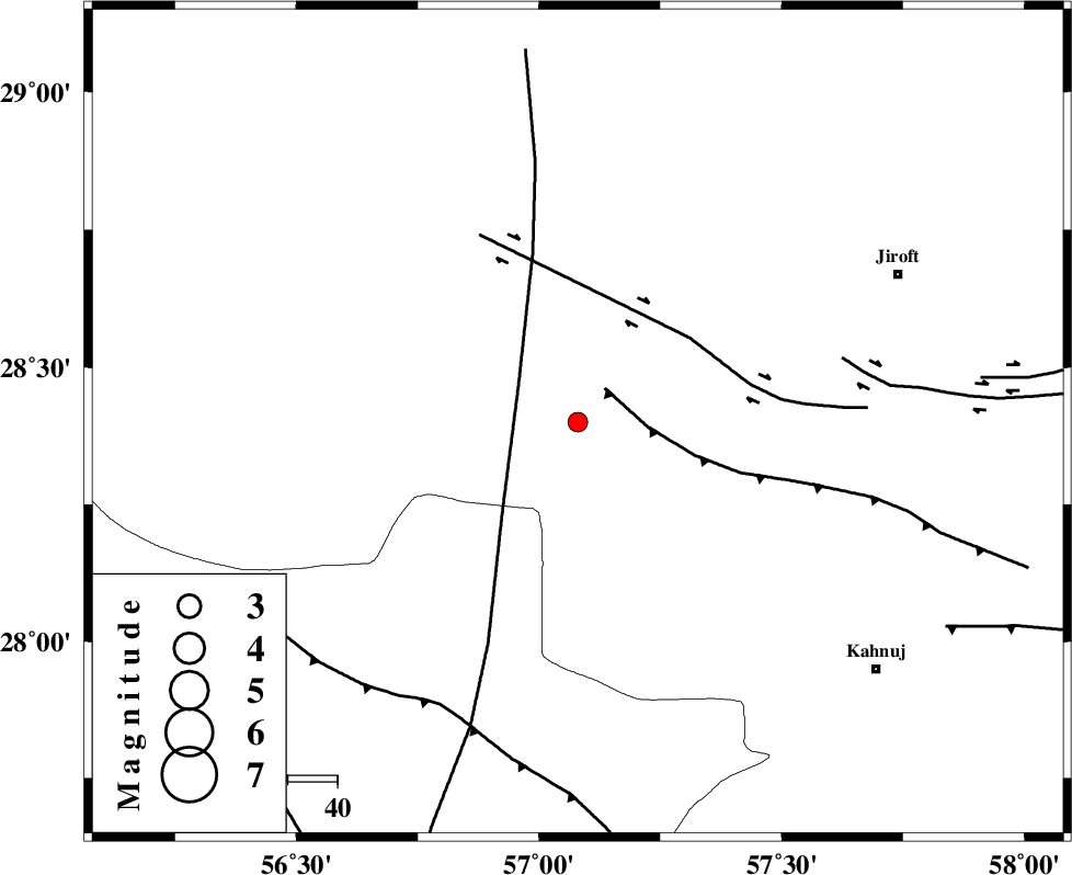
| Location | Lat:28.4 Lon: 57.08 |
| Region | Kerman Province, 71 km South-West of Jiroft |
Nearest Cities |
|
| 21 km North East of Sarkhan, Kerman Province | |
| 32 km North West of Hurpasefid, Kerman Province | |
| 35 km South of Dolatabad, Kerman Province | |
| 42 km North West of Faryab, Kerman Province | |
| 47 km North West of Mehrueye-e paeen, Kerman Province | |
| Depth | 46 km |
| Agency | |
Faults within 150 km: |
|
| MAIN_ZAGROS_R_F (Length: 1106 km) , Distance to epicenter: 48 km | |
| SABZEVARAN_F (Length: 190 km) , Distance to epicenter: 64 km | |
| JIROFT_F (Length: 144 km) , Distance to epicenter: 78 km | |
| Number of Phases | 6 |
| RMS | 0.2 |
| Number of Stations | 3 |
| Error in Latitude | >2.4 km |
| Error in Longitude | 5.9 km |
| Error in Depth | 4.7 km |
Download waveform in seisan format
to download seisan software Click here
to access information about IIEES stations Click here
Amplitude | ||||||||
| UID | Agency | Station | Component | Amplitude | Period | Arrival Time | Proccessing Time | Signal Clip |
| 94115 | IIEES | BNDS | N | 101.1 | 0.43 | 2014-10-29 08:11:06 | 2014-10-29 08:54:00 | n |
Phase | ||||||||||||
| Agency | Station | Component | Phase Type | Phase Quality | First Motion | Observed Arrival Time | Time Residual | Loc. Flag | Input Weight | Distance | Azimuth | |
| IIEES | BNDS | Z | Pg | E | 2014-10-29 08:10:41 | -0.4 | y | 142 | 219 | |||
| IIEES | BNDS | N | Sg | E | 2014-10-29 08:11:00 | 0.31 | y | 142 | 219 | |||
| IIEES | KRBR | Z | Pn | E | 2014-10-29 08:10:45 | -0.04 | y | 179 | 350 | |||
| IIEES | KRBR | N | Sg | E | 2014-10-29 08:11:09 | -0.02 | y | 179 | 350 | |||
| IIEES | BSRN | Z | Pn | E | 2014-10-29 08:11:18 | 0.1 | y | 442 | 26 | |||
| IIEES | BSRN | E | Sg | E | 2014-10-29 08:12:18 | 0.1 | y | 442 | 26 | |||