
Magnitude |
:1.8 |
| Date & Time (UTC) | 2014-10-17 07:23:43.6 |
| Date & Time (Local) | 1393/7/25 10:53:43.6 |
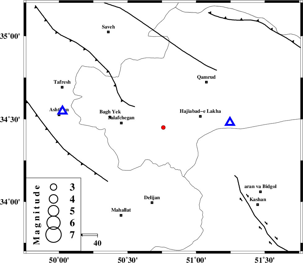
| Location | Lat:34.45 Lon: 50.76 |
| Region | Qom Province, 24 km South-West of Qom |
Nearest Cities |
|
| 13 km North West of Kahak, Qom Province | |
| 24 km South West of Qom, Qom Province | |
| 26 km West of Hajiabad-e lakha, Qom Province | |
| 28 km East of Salafchegan, Qom Province | |
| 34 km North West of Yahyaabad, Esfahan Province | |
| Depth | 15 km |
| Agency | |
Faults within 150 km: |
|
| INDES_F (Length: 98 km) , Distance to epicenter: 24 km | |
| KUSHK_E_NOSRAT_F (Length: 230 km) , Distance to epicenter: 50 km | |
| TAFRESH_F (Length: 117 km) , Distance to epicenter: 52 km | |
| Number of Phases | 3 |
| RMS | 0 |
| Number of Stations | 3 |
| Error in Latitude | >2.8 km |
| Error in Longitude | 1.6 km |
| Error in Depth | 0 km |
Download waveform in seisan format
to download seisan software Click here
to access information about IIEES stations Click here
Amplitude | ||||||||
| UID | Agency | Station | Component | Amplitude | Period | Arrival Time | Proccessing Time | Signal Clip |
| 93964 | IIEES | GHVR | N | 88.4 | 0.24 | 2014-10-17 07:23:58 | 2014-10-17 08:42:00 | n |
Phase | ||||||||||||
| Agency | Station | Component | Phase Type | Phase Quality | First Motion | Observed Arrival Time | Time Residual | Loc. Flag | Input Weight | Distance | Azimuth | |
| IIEES | GHVR | Z | Pg | E | 2014-10-17 07:23:51 | 0 | y | 44.6 | 85 | |||
| IIEES | ASAO | Z | Pg | E | 2014-10-17 07:23:55 | 0 | y | 68.5 | 280 | |||
| IIEES | KHMZ | Z | Pg | E | 2014-10-17 07:24:01 | 0 | y | 108 | 223 | |||