
Magnitude |
:3.3 |
| Date & Time (UTC) | 2014-10-10 02:01:38.0 |
| Date & Time (Local) | 1393/7/18 05:31:38.0 |
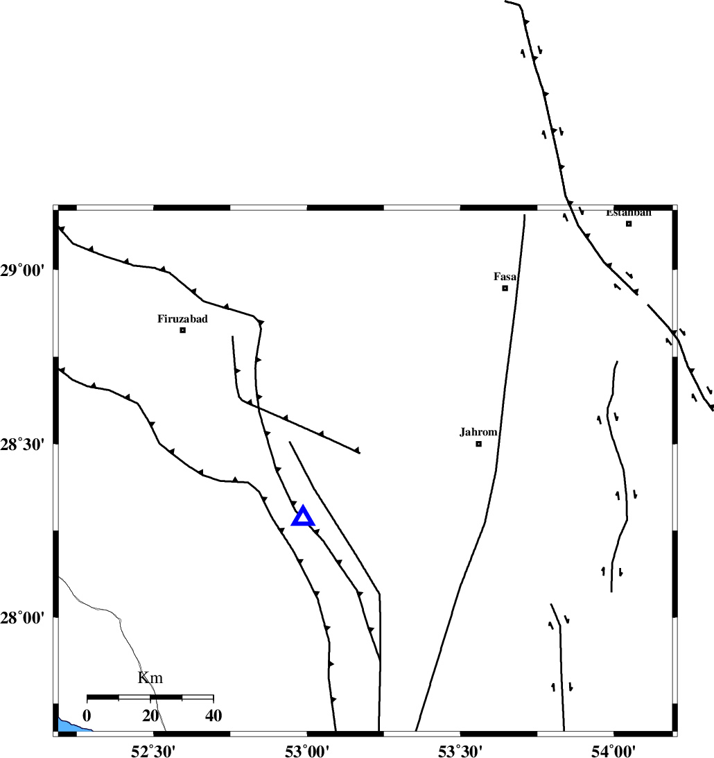
| Location | Lat:28.42 Lon: 53.19 |
| Region | Fars Province, 16 km East of Qir va Karzin |
Nearest Cities |
|
| 9 km of Fathabad, Fars Province | |
| 11 km North East of Shahrak-e jonubi, Fars Province | |
| 14 km North West of Mobarakabad, Fars Province | |
| 16 km East of Qir va Karzin, Fars Province | |
| 29 km South East of Shaghun, Fars Province | |
| Depth | 14 km |
| Agency | |
Faults within 150 km: |
|
| QIR_F (Length: 130 km) , Distance to epicenter: 14 km | |
| SABZ_PUSHAN_F_Z2 (Length: 24 km) , Distance to epicenter: 47 km | |
| SABZ_PUSHAN_F_Z1 (Length: 69 km) , Distance to epicenter: 55 km | |
| Number of Phases | 6 |
| RMS | 0 |
| Number of Stations | 4 |
| Error in Latitude | >1.9 km |
| Error in Longitude | 0.9 km |
| Error in Depth | 2.2 km |
Download waveform in seisan format
to download seisan software Click here
to access information about IIEES stations Click here
Amplitude | ||||||||
| UID | Agency | Station | Component | Amplitude | Period | Arrival Time | Proccessing Time | Signal Clip |
| 93833 | IIEES | GHIR | E | 5540.2 | 0.4 | 2014-10-10 02:01:48 | 2014-10-10 06:35:00 | n |
Phase | ||||||||||||
| Agency | Station | Component | Phase Type | Phase Quality | First Motion | Observed Arrival Time | Time Residual | Loc. Flag | Input Weight | Distance | Azimuth | |
| IIEES | GHIR | Z | Pg | E | 2014-10-10 02:01:43 | -0.05 | y | 24.5 | 234 | |||
| IIEES | AHRM | Z | Pn | E | 2014-10-10 02:02:09 | 0.02 | y | 192 | 286 | |||
| IIEES | AHRM | N | Sg | E | 2014-10-10 02:02:32 | 0.02 | y | 192 | 286 | |||
| IIEES | BNDS | Z | Pn | E | 2014-10-10 02:02:24 | 0.06 | y | 314 | 110 | |||
| IIEES | KRBR | Z | Pn | E | 2014-10-10 02:02:34 | -0.01 | y | 388 | 63 | |||
| IIEES | KRBR | N | Sg | E | 2014-10-10 02:03:26 | -0.05 | y | 388 | 63 | |||