
Magnitude |
:2.6 |
| Date & Time (UTC) | 2014-08-29 22:57:04.1 |
| Date & Time (Local) | 1393/6/8 03:27:04.1 |
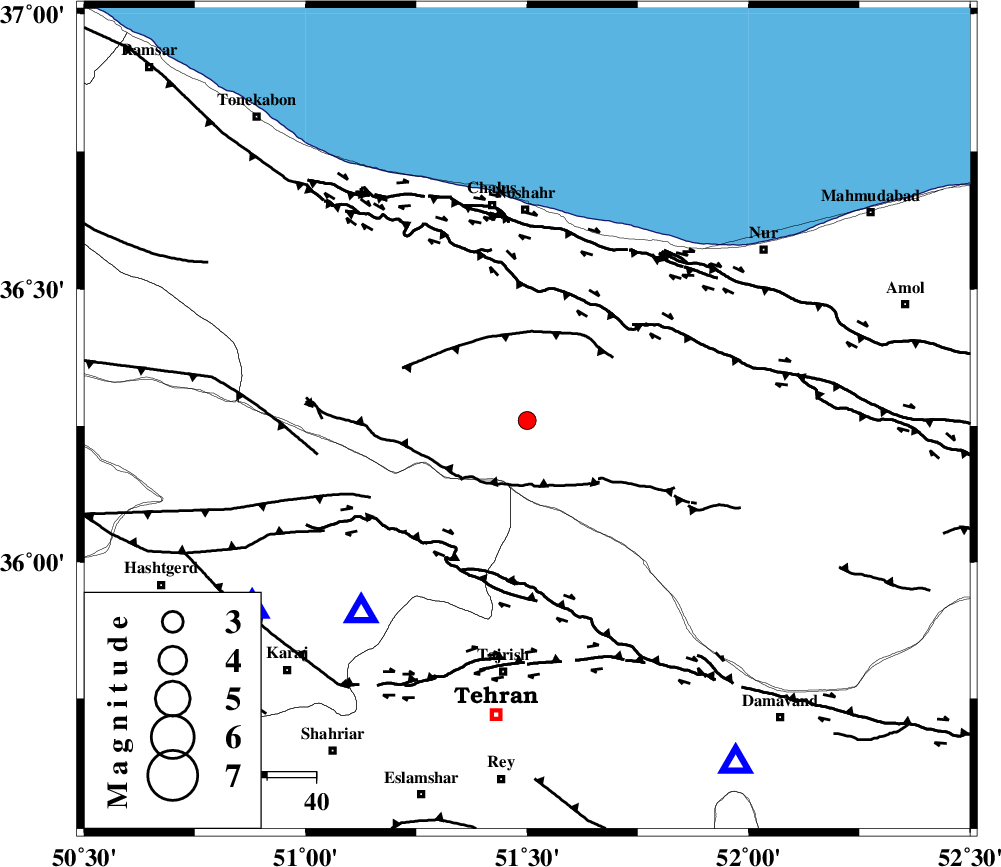
| Location | Lat:36.26 Lon: 51.5 |
| Region | Mazandaran Province, 42 km South of Nowshahr |
Nearest Cities |
|
| 7 km North of Void, Mazandaran Province | |
| 16 km North East of Pol-e zanguleh, Mazandaran Province | |
| 18 km South of Pul, Mazandaran Province | |
| 23 km North East of Nesa, Tehran Province | |
| 24 km South West of Kujur, Mazandaran Province | |
| Depth | 14 km |
| Agency | |
Faults within 150 km: |
|
| KANDOVAN_F (Length: 90 km) , Distance to epicenter: 13 km | |
| KOJOOR (Length: 75 km) , Distance to epicenter: 19 km | |
| N_ALBORZ_F (Length: 360 km) , Distance to epicenter: 26 km | |
| Number of Phases | 5 |
| RMS | 0 |
| Number of Stations | 4 |
| Error in Latitude | >3.2 km |
| Error in Longitude | 4.5 km |
| Error in Depth | 5.2 km |
Download waveform in seisan format
to download seisan software Click here
to access information about IIEES stations Click here
Amplitude | ||||||||
| UID | Agency | Station | Component | Amplitude | Period | Arrival Time | Proccessing Time | Signal Clip |
| 93393 | IIEES | THKV | N | 307.6 | 0.52 | 2014-08-29 22:57:01 | 2014-08-30 12:37:00 | n |
Phase | ||||||||||||
| Agency | Station | Component | Phase Type | Phase Quality | First Motion | Observed Arrival Time | Time Residual | Loc. Flag | Input Weight | Distance | Azimuth | |
| IIEES | CHTH | Z | Pg | E | 2014-08-29 22:57:13 | -0.01 | y | 51.8 | 221 | |||
| IIEES | GHVR | Z | Pn | E | 2014-08-29 22:57:36 | 0.06 | y | 199 | 187 | |||
| IIEES | GHVR | N | Sg | E | 2014-08-29 22:58:00 | -0.03 | y | 199 | 187 | |||
| IIEES | ASAO | Z | Pn | E | 2014-08-29 22:57:40 | -0.06 | y | 233 | 216 | |||
| IIEES | ASAO | N | Sg | E | 2014-08-29 22:58:10 | 0.04 | y | 233 | 216 | |||