
Magnitude |
:2.4 |
| Date & Time (UTC) | 2014-08-16 11:43:14.4 |
| Date & Time (Local) | 1393/5/25 16:13:14.4 |
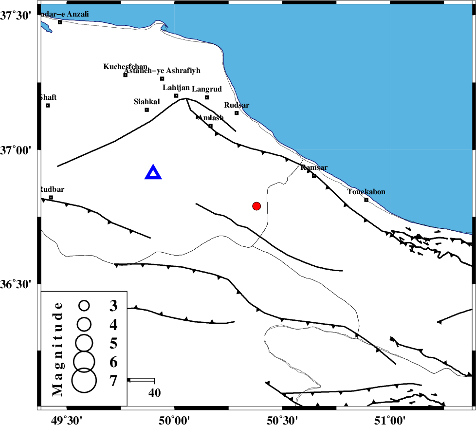
| Location | Lat:36.79 Lon: 50.38 |
| Region | Gilan Province, 27 km South-West of Ramsar |
Nearest Cities |
|
| 14 km East of Ziar, Gilan Province | |
| 17 km North of Tamol, Mazandaran Province | |
| 26 km South West of Chaboksar, Gilan Province | |
| 26 km South of Rahimabad, Gilan Province | |
| 27 km South West of Ramsar, Mazandaran Province | |
| Depth | 15 km |
| Agency | |
Faults within 150 km: |
|
| BONAN_F (Length: 74 km) , Distance to epicenter: 10 km | |
| KHAZAR_F (Length: 523 km) , Distance to epicenter: 23 km | |
| LAHIJAN_F (Length: 92 km) , Distance to epicenter: 32 km | |
| Number of Phases | 4 |
| RMS | 0 |
| Number of Stations | 3 |
| Error in Latitude | >9.6 km |
| Error in Longitude | 4.2 km |
| Error in Depth | 5.4 km |
Download waveform in seisan format
to download seisan software Click here
to access information about IIEES stations Click here
Amplitude | ||||||||
| UID | Agency | Station | Component | Amplitude | Period | Arrival Time | Proccessing Time | Signal Clip |
| 92944 | IIEES | ZNJK | E | 60.1 | 0.12 | 2014-08-16 11:44:01 | 2014-08-16 01:06:00 | n |
| 92945 | IIEES | ASAO | N | 23.1 | 0.4 | 2014-08-16 11:44:28 | 2014-08-16 01:06:00 | n |
| 92946 | IIEES | ASAO | E | 17.1 | 0.32 | 2014-08-16 11:44:28 | 2014-08-16 01:06:00 | n |
Phase | ||||||||||||
| Agency | Station | Component | Phase Type | Phase Quality | First Motion | Observed Arrival Time | Time Residual | Loc. Flag | Input Weight | Distance | Azimuth | |
| IIEES | CHTH | Z | Pg | E | 2014-08-16 11:43:34 | 0 | y | 119 | 145 | |||
| IIEES | ZNJK | Z | Pg | E | 2014-08-16 11:43:39 | 0 | y | 152 | 265 | |||
| IIEES | ZNJK | E | Sg | E | 2014-08-16 11:43:58 | 0 | y | 152 | 265 | |||
| IIEES | ASAO | Z | Pn | E | 2014-08-16 11:43:53 | 0 | y | 251 | 187 | |||