
Magnitude |
:3.7 |
| Date & Time (UTC) | 2014-07-30 15:11:39.9 |
| Date & Time (Local) | 1393/5/8 19:41:39.9 |
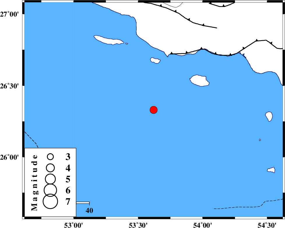
| Location | Lat:26.33 Lon: 53.62 |
| Region | Persian Gulf |
Nearest Cities |
|
| 94 km South West of Ahl, Fars Province | |
| 99 km South of Ashkenan, Fars Province | |
| 101 km South West of Jenah, Hormozgan Province | |
| 120 km South East of Lamerd, Fars Province | |
| 121 km South West of Bastak, Hormozgan Province | |
| Depth | 18 km |
| Agency | |
Faults within 150 km: |
|
| ZFF1 (Length: 165 km) , Distance to epicenter: 45 km | |
| MFF3 (Length: 292 km) , Distance to epicenter: 74 km | |
| MFF1 (Length: 180 km) , Distance to epicenter: 93 km | |
| Number of Phases | 7 |
| RMS | 0.2 |
| Number of Stations | 5 |
| Error in Latitude | >4.7 km |
| Error in Longitude | 4.1 km |
| Error in Depth | 7.4 km |
Download waveform in seisan format
to download seisan software Click here
to access information about IIEES stations Click here
Amplitude | ||||||||
| UID | Agency | Station | Component | Amplitude | Period | Arrival Time | Proccessing Time | Signal Clip |
| 92896 | IIEES | GHIR | E | 520.9 | 0.48 | 2014-07-30 15:13:01 | 2014-07-30 04:53:00 | n |
| 92897 | IIEES | BNDS | N | 385 | 0.44 | 2014-07-30 15:13:11 | 2014-07-30 04:53:00 | n |
Phase | ||||||||||||
| Agency | Station | Component | Phase Type | Phase Quality | First Motion | Observed Arrival Time | Time Residual | Loc. Flag | Input Weight | Distance | Azimuth | |
| IIEES | GHIR | Z | Pn | E | 2014-07-30 15:12:15 | -0.1 | y | 225 | 344 | |||
| IIEES | GHIR | E | Sg | E | 2014-07-30 15:12:43 | 0.09 | y | 225 | 344 | |||
| IIEES | BNDS | Z | Pn | E | 2014-07-30 15:12:22 | 0.23 | y | 280 | 64 | |||
| IIEES | BNDS | N | S | E | 2014-07-30 15:12:52 | -0.12 | y | 280 | 64 | |||
| IIEES | YZKH | Z | Pn | E | 2014-07-30 15:13:11 | -0.28 | y | 678 | 8 | |||
| IIEES | ZHSF | Z | Pn | E | 2014-07-30 15:13:25 | 0.08 | y | 792 | 61 | |||
| IIEES | BSRN | Z | Pn | E | 2014-07-30 15:13:29 | -0.02 | y | 823 | 39 | |||