
Magnitude |
:2 |
| Date & Time (UTC) | 2014-07-13 01:29:14.0 |
| Date & Time (Local) | 1393/4/22 05:59:14.0 |
| Location | Lat:36.43 Lon: 50.83 |
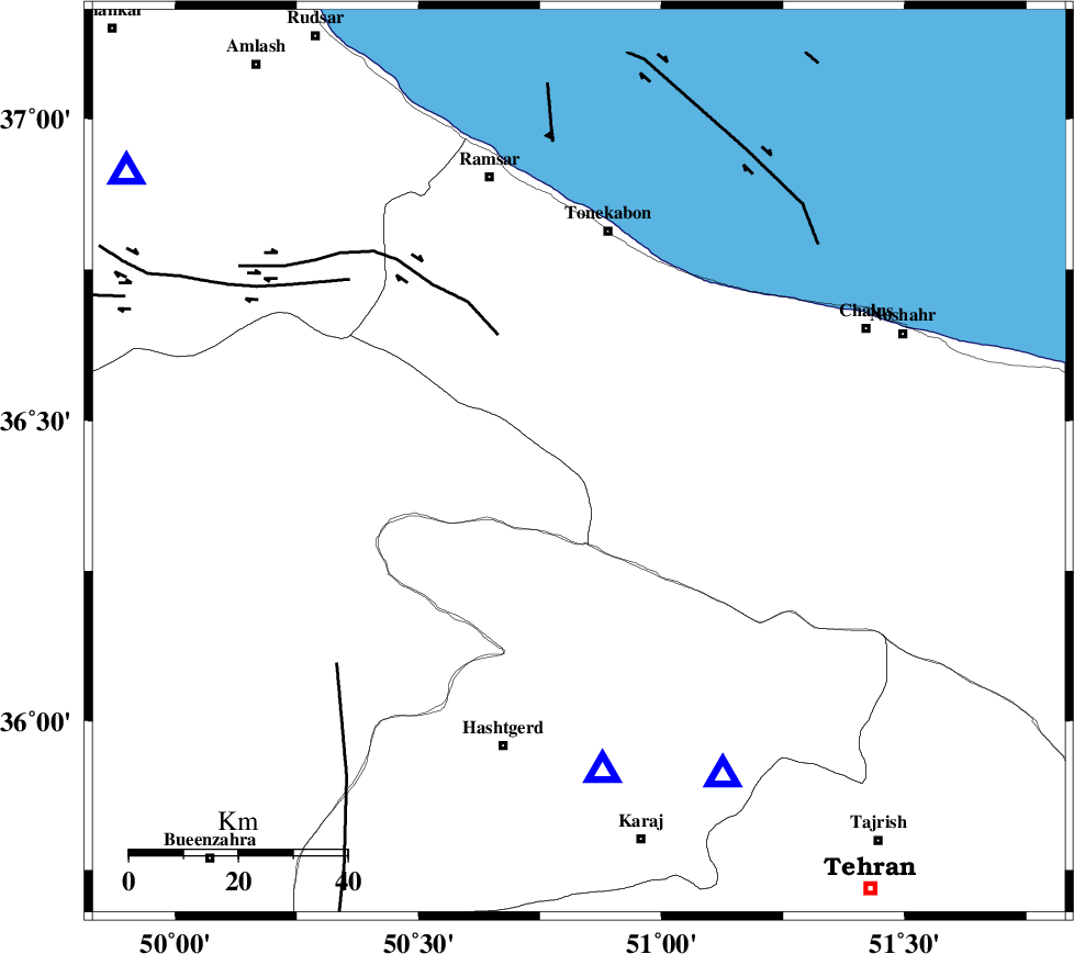
| Region | Mazandaran Province, 44 km South of Tonekabon |
Nearest Cities |
|
| 27 km North of Shahrak, Tehran Province | |
| 31 km North East of Taleqan, Tehran Province | |
| 34 km East of Moallemkelayeh, Ghazvin Province | |
| 35 km South West of Kanza, Mazandaran Province | |
| 37 km West of Kardichal, Mazandaran Province | |
| Depth | 14 km |
| Agency | |
Faults within 150 km: |
|
| ALAMUTRUD_F (Length: 140 km) , Distance to epicenter: 11 km | |
| BONAN_F (Length: 74 km) , Distance to epicenter: 14 km | |
| KANDOVAN_F (Length: 90 km) , Distance to epicenter: 19 km | |
| Number of Phases | 4 |
| RMS | 0 |
| Number of Stations | 4 |
| Error in Latitude | >5 km |
| Error in Longitude | 4.7 km |
| Error in Depth | 4.8 km |
Download waveform in seisan format
to download seisan software Click here
to access information about IIEES stations Click here
Amplitude | ||||||||
| UID | Agency | Station | Component | Amplitude | Period | Arrival Time | Proccessing Time | Signal Clip |
| 92790 | IIEES | CHTH | E | 98.6 | 0.12 | 2014-07-13 01:29:33 | 2014-07-13 03:59:00 | n |
| 92791 | IIEES | ZNJK | E | 16.5 | 0.32 | 2014-07-13 01:30:16 | 2014-07-13 03:59:00 | n |
| 92792 | IIEES | GHVR | E | 10.7 | 0.36 | 2014-07-13 01:30:18 | 2014-07-13 03:59:00 | n |
| 92793 | IIEES | ASAO | N | 11.9 | 0.32 | 2014-07-13 01:30:20 | 2014-07-13 03:59:00 | n |
Phase | ||||||||||||
| Agency | Station | Component | Phase Type | Phase Quality | First Motion | Observed Arrival Time | Time Residual | Loc. Flag | Input Weight | Distance | Azimuth | |
| IIEES | CHTH | Z | Pg | E | 2014-07-13 01:29:25 | 0 | y | 63.1 | 155 | |||
| IIEES | ZNJK | Z | Pn | E | 2014-07-13 01:29:46 | 0 | y | 194 | 279 | |||
| IIEES | GHVR | Z | Pn | E | 2014-07-13 01:29:48 | 0 | y | 219 | 170 | |||
| IIEES | ASAO | Z | Pg | E | 2014-07-13 01:29:50 | 0 | y | 221 | 200 | |||