
Magnitude |
:1.6 |
| Date & Time (UTC) | 2014-05-18 01:36:05.8 |
| Date & Time (Local) | 1393/2/28 06:06:05.8 |
| Location | Lat:35.18 Lon: 51.51 |
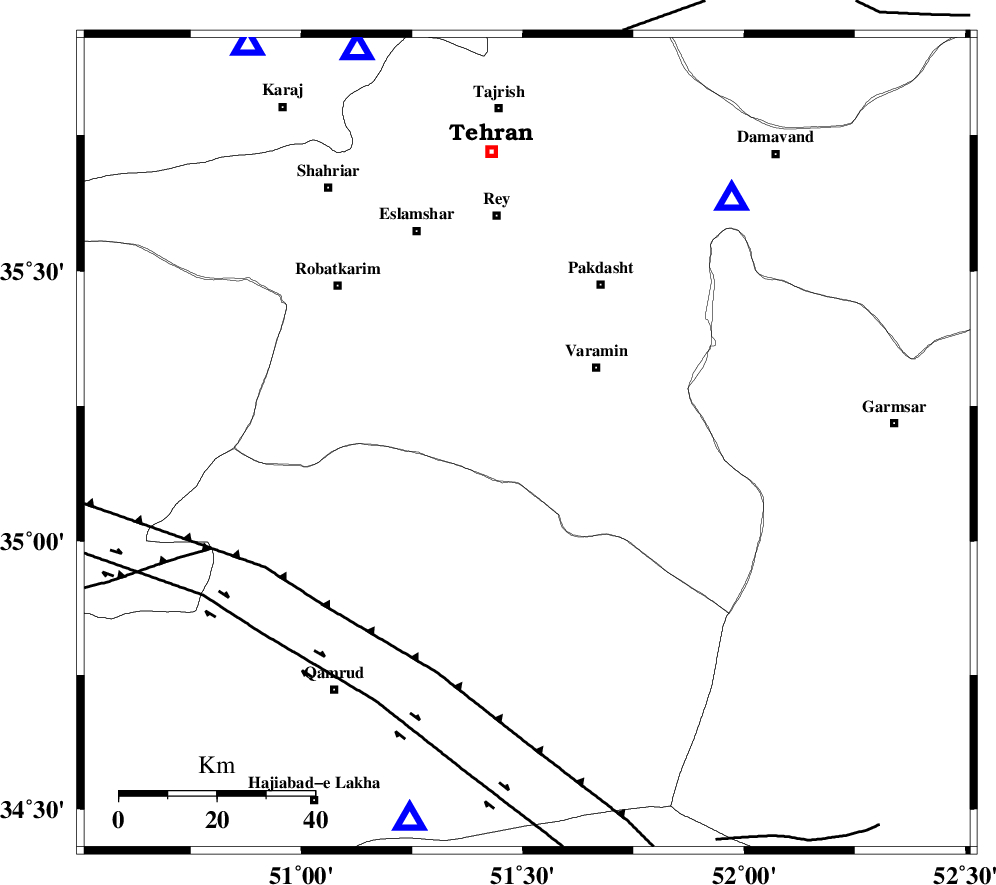
| Region | Tehran Province, 21 km South-West of Varamin |
Nearest Cities |
|
| 12 km of Ab barik, Tehran Province | |
| 17 km South of Bagh-e khavas, Tehran Province | |
| 21 km South West of Varamin, Tehran Province | |
| 24 km South West of Pishva, Tehran Province | |
| 29 km South of Qarchak, Tehran Province | |
| Depth | 33 km |
| Agency | |
Faults within 150 km: |
|
| SIAHKUH_F (Length: 154 km) , Distance to epicenter: 12 km | |
| PISHAV_F (Length: 34 km) , Distance to epicenter: 24 km | |
| GARMSAR_F (Length: 77 km) , Distance to epicenter: 31 km | |
| Number of Phases | 5 |
| RMS | 0 |
| Number of Stations | 3 |
| Error in Latitude | >0.8 km |
| Error in Longitude | 2.6 km |
| Error in Depth | 10 km |
Download waveform in seisan format
to download seisan software Click here
to access information about IIEES stations Click here
Amplitude | ||||||||
| UID | Agency | Station | Component | Amplitude | Period | Arrival Time | Proccessing Time | Signal Clip |
| 92452 | IIEES | GHVR | E | 22 | 0.08 | 2014-05-18 01:36:31 | 2014-05-18 03:31:00 | n |
| 92453 | IIEES | CHTH | E | 19.5 | 0.4 | 2014-05-18 01:36:33 | 2014-05-18 03:31:00 | n |
Phase | ||||||||||||
| Agency | Station | Component | Phase Type | Phase Quality | First Motion | Observed Arrival Time | Time Residual | Loc. Flag | Input Weight | Distance | Azimuth | |
| IIEES | DAMV | Z | Pg | E | 2014-05-18 01:36:17 | 0 | y | 65.2 | 40 | |||
| IIEES | GHVR | Z | Pg | E | 2014-05-18 01:36:20 | -0.02 | y | 81.2 | 198 | |||
| IIEES | GHVR | E | Sg | E | 2014-05-18 01:36:30 | 0.01 | y | 81.2 | 198 | |||
| IIEES | CHTH | Z | Pg | E | 2014-05-18 01:36:21 | 0.02 | y | 88.2 | 337 | |||
| IIEES | CHTH | N | Sg | E | 2014-05-18 01:36:32 | -0.01 | y | 88.2 | 337 | |||