
Magnitude |
:2.6 |
| Date & Time (UTC) | 2014-05-14 12:55:37.5 |
| Date & Time (Local) | 1393/2/24 17:25:37.5 |
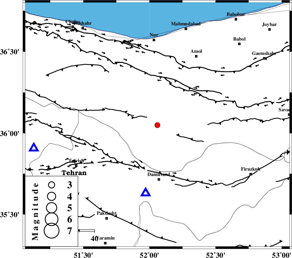
| Location | Lat:36.05 Lon: 52.06 |
| Region | Mazandaran Province, 37 km North of Damavand |
Nearest Cities |
|
| 15 km South of Pil, Mazandaran Province | |
| 20 km North West of Gaznak, Mazandaran Province | |
| 21 km North West of Rineh, Mazandaran Province | |
| 22 km North West of Baijan, Mazandaran Province | |
| 28 km South East of Baladeh, Mazandaran Province | |
| Depth | 6 km |
| Agency | |
Faults within 150 km: |
|
| KANDOVAN_F (Length: 90 km) , Distance to epicenter: 22 km | |
| N_ALBORZ_F (Length: 360 km) , Distance to epicenter: 32 km | |
| MOSHA_F (Length: 234 km) , Distance to epicenter: 32 km | |
| Number of Phases | 7 |
| RMS | 0.1 |
| Number of Stations | 5 |
| Error in Latitude | >2.2 km |
| Error in Longitude | 3 km |
| Error in Depth | 3.5 km |
Download waveform in seisan format
to download seisan software Click here
to access information about IIEES stations Click here
Amplitude | ||||||||
| UID | Agency | Station | Component | Amplitude | Period | Arrival Time | Proccessing Time | Signal Clip |
| 92423 | IIEES | ZNJK | E | 20.9 | 0.96 | 2014-05-14 12:57:09 | 2014-05-14 02:23:00 | n |
Phase | ||||||||||||
| Agency | Station | Component | Phase Type | Phase Quality | First Motion | Observed Arrival Time | Time Residual | Loc. Flag | Input Weight | Distance | Azimuth | |
| IIEES | DAMV | Z | Pg | E | 2014-05-14 12:55:46 | 0.04 | y | 47.1 | 190 | |||
| IIEES | CHTH | Z | Pg | E | 2014-05-14 12:55:52 | -0.15 | y | 85.8 | 260 | |||
| IIEES | CHTH | N | Sg | E | 2014-05-14 12:56:03 | 0.02 | y | 85.8 | 260 | |||
| IIEES | GHVR | Z | Pn | E | 2014-05-14 12:56:09 | -0.15 | y | 189 | 203 | |||
| IIEES | GHVR | N | Sg | E | 2014-05-14 12:56:33 | 0.02 | y | 189 | 203 | |||
| IIEES | ASAO | Z | Pn | E | 2014-05-14 12:56:17 | 0.13 | y | 249 | 229 | |||
| IIEES | ZNJK | Z | Pn | E | 2014-05-14 12:56:25 | 0.09 | y | 311 | 284 | |||