
Magnitude |
:4.3 |
| Date & Time (UTC) | 2014-04-24 08:42:43.7 |
| Date & Time (Local) | 1393/2/4 13:12:43.7 |
| Location | Lat:30.41 Lon: 50.74 |
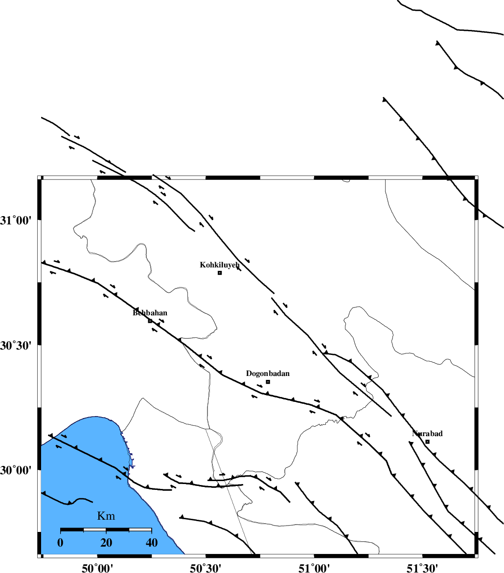
| Region | Kohkiluieh va boyerahmad Province, 8 km Dogonbadan |
Nearest Cities |
|
| 8 km North of Dogonbadan, Kohkiluieh va boyerahmad Province | |
| 30 km West of Abdehgah, Kohkiluieh va boyerahmad Province | |
| 41 km North West of Basht, Kohkiluieh va boyerahmad Province | |
| 45 km South East of Dehdasht, Kohkiluieh va boyerahmad Province | |
| 49 km South East of Mansuriyeh, Khoozestan Province | |
| Depth | 14 km |
| Agency | |
Faults within 150 km: |
|
| MISHAN_F (Length: 76 km) , Distance to epicenter: 6 km | |
| ZFF3 (Length: 125 km) , Distance to epicenter: 46 km | |
| RAG_E_SEFID_F (Length: 84 km) , Distance to epicenter: 46 km | |
| Number of Phases | 6 |
| RMS | 0.2 |
| Number of Stations | 5 |
| Error in Latitude | >3.5 km |
| Error in Longitude | 4.1 km |
| Error in Depth | 9 km |
Download waveform in seisan format
to download seisan software Click here
to access information about IIEES stations Click here
Amplitude | ||||||||
| UID | Agency | Station | Component | Amplitude | Period | Arrival Time | Proccessing Time | Signal Clip |
| 92284 | IIEES | SHGR | E | 1728.9 | 0.51 | 2014-04-24 08:44:12 | 2014-04-26 12:21:00 | n |
| 92285 | IIEES | SHGR | N | 1711.1 | 0.56 | 2014-04-24 08:44:12 | 2014-04-26 12:21:00 | n |
Phase | ||||||||||||
| Agency | Station | Component | Phase Type | Phase Quality | First Motion | Observed Arrival Time | Time Residual | Loc. Flag | Input Weight | Distance | Azimuth | |
| IIEES | AHRM | Z | Pg | E | 2014-04-24 08:43:13 | 0.15 | y | 180 | 162 | |||
| IIEES | AHRM | N | Sg | E | 2014-04-24 08:43:34 | -0.21 | y | 180 | 162 | |||
| IIEES | SHGR | Z | Pn | E | 2014-04-24 08:43:23 | -0.04 | y | 263 | 316 | |||
| IIEES | GHIR | Z | Pn | E | 2014-04-24 08:43:31 | 0.25 | y | 321 | 137 | |||
| IIEES | YZKH | Z | P | E | 2014-04-24 08:43:44 | -0.12 | y | 427 | 58 | |||
| IIEES | TABS | Z | Pn | E | 2014-04-24 08:44:18 | -0.06 | y | 702 | 58 | |||