
Magnitude |
:2.2 |
| Date & Time (UTC) | 2014-04-25 00:30:11.3 |
| Date & Time (Local) | 1393/2/5 05:00:11.3 |
| Location | Lat:30.68 Lon: 55.96 |
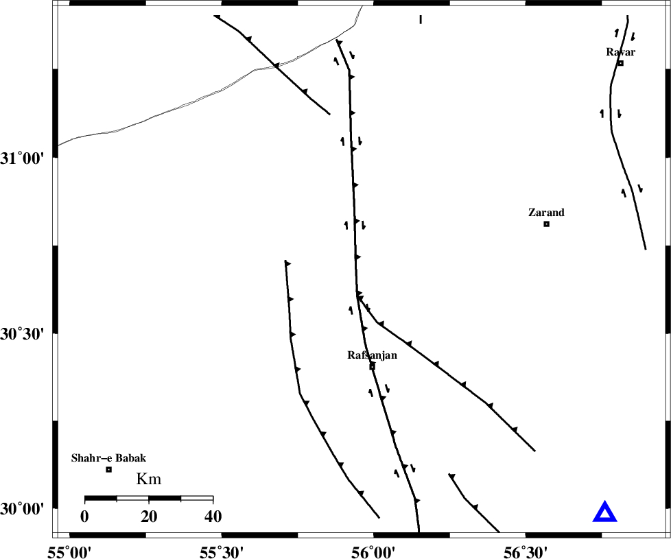
| Region | Kerman Province, 31 km North of Rafsanjan |
Nearest Cities |
|
| 21 km South East of Ferdosiyeh, Kerman Province | |
| 27 km North West of Davaran, Kerman Province | |
| 30 km North West of Qasemabad, Kerman Province | |
| 31 km North of Rafsanjan, Kerman Province | |
| 32 km South East of Bahreman, Kerman Province | |
| Depth | 14 km |
| Agency | |
Faults within 150 km: |
|
| DARIVAN_F (Length: 131 km) , Distance to epicenter: 20 km | |
| RAFSANJAN_F (Length: 129 km) , Distance to epicenter: 44 km | |
| KUHBANAN_F (Length: 189 km) , Distance to epicenter: 63 km | |
| Number of Phases | 5 |
| RMS | 0.2 |
| Number of Stations | 3 |
| Error in Latitude | >5.9 km |
| Error in Longitude | 7.7 km |
| Error in Depth | 7.4 km |
Download waveform in seisan format
to download seisan software Click here
to access information about IIEES stations Click here
Amplitude | ||||||||
| UID | Agency | Station | Component | Amplitude | Period | Arrival Time | Proccessing Time | Signal Clip |
| 92267 | IIEES | YZKH | E | 21.2 | 0.36 | 2014-04-25 00:31:20 | 2014-04-25 03:32:00 | n |
| 92268 | IIEES | YZKH | N | 15.9 | 0.28 | 2014-04-25 00:31:21 | 2014-04-25 03:32:00 | n |
Phase | ||||||||||||
| Agency | Station | Component | Phase Type | Phase Quality | First Motion | Observed Arrival Time | Time Residual | Loc. Flag | Input Weight | Distance | Azimuth | |
| IIEES | KRBR | Z | Pg | E | 2014-04-25 00:30:29 | -0.32 | y | 109 | 135 | |||
| IIEES | KRBR | E | Sg | E | 2014-04-25 00:30:43 | 0.16 | y | 109 | 135 | |||
| IIEES | YZKH | Z | Pn | E | 2014-04-25 00:30:48 | 0.33 | y | 230 | 326 | |||
| IIEES | YZKH | E | Sg | E | 2014-04-25 00:31:16 | -0.18 | y | 230 | 326 | |||
| IIEES | BSRN | Z | Pn | E | 2014-04-25 00:31:00 | 0.01 | y | 333 | 64 | |||