
Magnitude |
:2.9 |
| Date & Time (UTC) | 2014-04-10 23:38:46.9 |
| Date & Time (Local) | 1393/1/22 04:08:46.9 |
| Location | Lat:31.59 Lon: 50.06 |
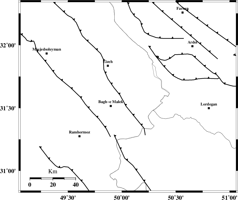
| Region | Khoozestan Province, 17 km East of Bagh Malek |
Nearest Cities |
|
| 8 km North of Abolabbas, Khoozestan Province | |
| 17 km East of Ghaleh tal, Khoozestan Province | |
| 17 km North East of Bagh Malek, Khoozestan Province | |
| 26 km North of Seidun, Khoozestan Province | |
| 27 km South West of Dehdez, Khoozestan Province | |
| Depth | 16 km |
| Agency | |
Faults within 150 km: |
|
| MFF2 (Length: 205 km) , Distance to epicenter: 8 km | |
| DEZFUL_EMBAYMENT (Length: 228 km) , Distance to epicenter: 32 km | |
| MFF4 (Length: 62 km) , Distance to epicenter: 36 km | |
| Number of Phases | 6 |
| RMS | 0.1 |
| Number of Stations | 4 |
| Error in Latitude | >3.3 km |
| Error in Longitude | 3.4 km |
| Error in Depth | 5 km |
Download waveform in seisan format
to download seisan software Click here
to access information about IIEES stations Click here
Amplitude | ||||||||
| UID | Agency | Station | Component | Amplitude | Period | Arrival Time | Proccessing Time | Signal Clip |
| 92187 | IIEES | KHMZ | E | 72.3 | 0.36 | 2014-04-10 23:39:59 | 2014-04-11 01:03:00 | n |
| 92188 | IIEES | SNGE | N | 12.9 | 0.44 | 2014-04-10 23:41:02 | 2014-04-11 01:03:00 | n |
Phase | ||||||||||||
| Agency | Station | Component | Phase Type | Phase Quality | First Motion | Observed Arrival Time | Time Residual | Loc. Flag | Input Weight | Distance | Azimuth | |
| IIEES | SHGR | Z | Pg | E | 2014-04-10 23:39:08 | 0.02 | y | 132 | 296 | |||
| IIEES | SHGR | N | Sg | E | 2014-04-10 23:39:24 | -0.04 | y | 132 | 296 | |||
| IIEES | KHMZ | Z | Pn | E | 2014-04-10 23:39:24 | -0.01 | y | 239 | 358 | |||
| IIEES | KHMZ | E | Sg | E | 2014-04-10 23:39:54 | 0.02 | y | 239 | 358 | |||
| IIEES | ASAO | Z | Pn | E | 2014-04-10 23:39:35 | -0.09 | y | 328 | 360 | |||
| IIEES | SNGE | Z | Pn | E | 2014-04-10 23:39:52 | 0.13 | y | 463 | 328 | |||