
Magnitude |
:3 |
| Date & Time (UTC) | 2014-03-30 15:40:33.6 |
| Date & Time (Local) | 1393/1/10 20:10:33.6 |
| Location | Lat:35.24 Lon: 51.94 |
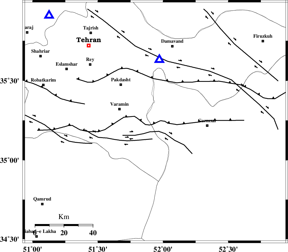
| Region | Semnan Province, 26 km East of Varamin |
Nearest Cities |
|
| 7 km of Shorqazi, Semnan Province | |
| 7 km of Cheshmeh nadi, Semnan Province | |
| 16 km West of Evanekay, Semnan Province | |
| 20 km East of Pishva, Tehran Province | |
| 21 km South East of Khalilabad, Tehran Province | |
| Depth | 6 km |
| Agency | |
Faults within 150 km: |
|
| GARMSAR_F (Length: 77 km) , Distance to epicenter: 3 km | |
| PISHAV_F (Length: 34 km) , Distance to epicenter: 8 km | |
| EYVANEKEY_F (Length: 74 km) , Distance to epicenter: 17 km | |
| Number of Phases | 5 |
| RMS | 0.1 |
| Number of Stations | 3 |
| Error in Latitude | >1.2 km |
| Error in Longitude | 6.1 km |
| Error in Depth | 4.6 km |
Download waveform in seisan format
to download seisan software Click here
to access information about IIEES stations Click here
Amplitude | ||||||||
| UID | Agency | Station | Component | Amplitude | Period | Arrival Time | Proccessing Time | Signal Clip |
| 92097 | IIEES | GHVR | E | 398.6 | 0.44 | 2014-03-30 15:41:14 | 2014-03-30 04:59:00 | n |
Phase | ||||||||||||
| Agency | Station | Component | Phase Type | Phase Quality | First Motion | Observed Arrival Time | Time Residual | Loc. Flag | Input Weight | Distance | Azimuth | |
| IIEES | CHTH | Z | Pg | E | 2014-03-30 15:40:52 | 0.08 | y | 104 | 316 | |||
| IIEES | CHTH | E | Sg | E | 2014-03-30 15:41:05 | -0.05 | y | 104 | 316 | |||
| IIEES | GHVR | Z | Pg | E | 2014-03-30 15:40:51 | -0.19 | y | 105 | 217 | |||
| IIEES | GHVR | E | Sg | E | 2014-03-30 15:41:05 | 0.07 | y | 105 | 217 | |||
| IIEES | KHMZ | Z | Pn | E | 2014-03-30 15:41:13 | 0.09 | y | 246 | 228 | |||