
Magnitude |
:2.5 |
| Date & Time (UTC) | 2014-03-30 06:45:38.8 |
| Date & Time (Local) | 1393/1/10 11:15:38.8 |
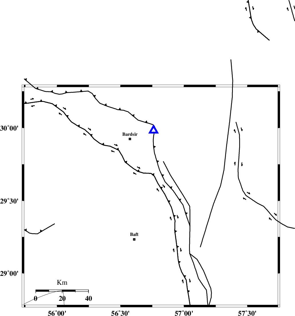
| Location | Lat:29.53 Lon: 56.74 |
| Region | Kerman Province, 35 km North-East of Baft |
Nearest Cities |
|
| 7 km North of Ghale-ye asgar, Kerman Province | |
| 8 km North of Lalehzar, Kerman Province | |
| 22 km North East of Karin, Kerman Province | |
| 26 km North of Askar, Kerman Province | |
| 27 km North West of Siyah bonueyeh, Kerman Province | |
| Depth | 12 km |
| Agency | |
Faults within 150 km: |
|
| LALEHZAR_F (Length: 52 km) , Distance to epicenter: 24 km | |
| RAFSANJAN_F (Length: 129 km) , Distance to epicenter: 59 km | |
| GOWK_F (Length: 152 km) , Distance to epicenter: 90 km | |
| Number of Phases | 5 |
| RMS | 0.3 |
| Number of Stations | 4 |
| Error in Latitude | >8.8 km |
| Error in Longitude | 8.8 km |
| Error in Depth | 9.5 km |
Download waveform in seisan format
to download seisan software Click here
to access information about IIEES stations Click here
Amplitude | ||||||||
| UID | Agency | Station | Component | Amplitude | Period | Arrival Time | Proccessing Time | Signal Clip |
| 92091 | IIEES | YZKH | E | 9.1 | 0.46 | 2014-03-30 06:47:27 | 2014-03-30 08:23:00 | n |
| 92092 | IIEES | YZKH | N | 10.1 | 0.35 | 2014-03-30 06:47:29 | 2014-03-30 08:23:00 | n |
Phase | ||||||||||||
| Agency | Station | Component | Phase Type | Phase Quality | First Motion | Observed Arrival Time | Time Residual | Loc. Flag | Input Weight | Distance | Azimuth | |
| IIEES | KRBR | Z | Pg | E | 2014-03-30 06:45:47 | -0.23 | y | 50.1 | 2 | |||
| IIEES | KRBR | N | Sg | E | 2014-03-30 06:45:54 | 0.2 | y | 50.1 | 2 | |||
| IIEES | YZKH | Z | P | E | 2014-03-30 06:46:34 | 0.3 | y | 378 | 328 | |||
| IIEES | ZHSF | Z | Pn | E | 2014-03-30 06:46:35 | 0.19 | y | 391 | 88 | |||
| IIEES | TABS | Z | Pn | E | 2014-03-30 06:46:43 | -0.51 | y | 458 | 4 | |||