
Magnitude |
:1.9 |
| Date & Time (UTC) | 2014-03-27 01:09:18.6 |
| Date & Time (Local) | 1393/1/7 05:39:18.6 |
| Location | Lat:33.28 Lon: 51.28 |
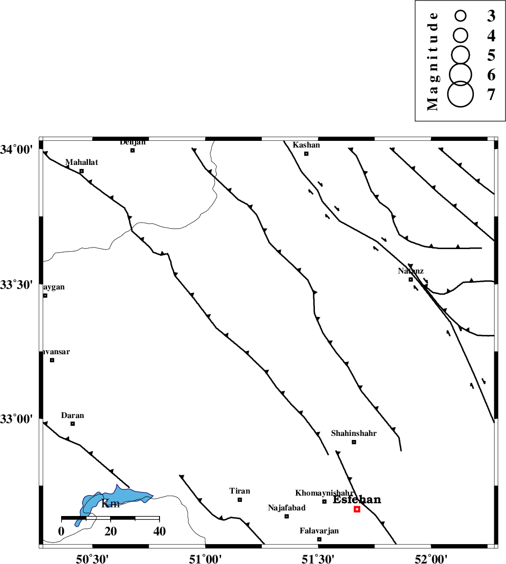
| Region | Esfahan Province, 66 km North-East of Tiran |
Nearest Cities |
|
| 13 km South of Vandadeh, Esfahan Province | |
| 18 km South of Vazvan, Esfahan Province | |
| 21 km South East of Meymeh, Esfahan Province | |
| 28 km North West of Murcheh khort, Esfahan Province | |
| 30 km North East of Alavijeh, Esfahan Province | |
| Depth | 18 km |
| Agency | |
Faults within 150 km: |
|
| ZEFREH_F (Length: 124 km) , Distance to epicenter: 58 km | |
| KASHAN_F (Length: 44 km) , Distance to epicenter: 63 km | |
| CHAH_ZANGUL_F (Length: 123 km) , Distance to epicenter: 78 km | |
| Number of Phases | 6 |
| RMS | 0.1 |
| Number of Stations | 4 |
| Error in Latitude | >2.1 km |
| Error in Longitude | 2.1 km |
| Error in Depth | 4 km |
Download waveform in seisan format
to download seisan software Click here
to access information about IIEES stations Click here
Amplitude | ||||||||
| UID | Agency | Station | Component | Amplitude | Period | Arrival Time | Proccessing Time | Signal Clip |
| 92077 | IIEES | GHVR | E | 23.4 | 0.44 | 2014-03-27 01:09:58 | 2014-03-27 02:53:00 | n |
| 92078 | IIEES | ASAO | N | 14.8 | 0.68 | 2014-03-27 01:10:14 | 2014-03-27 02:53:00 | n |
| 92079 | IIEES | YZKH | E | 3.7 | 0.48 | 2014-03-27 01:10:55 | 2014-03-27 02:53:00 | n |
| 92080 | IIEES | YZKH | N | 3.6 | 0.36 | 2014-03-27 01:10:55 | 2014-03-27 02:53:00 | n |
Phase | ||||||||||||
| Agency | Station | Component | Phase Type | Phase Quality | First Motion | Observed Arrival Time | Time Residual | Loc. Flag | Input Weight | Distance | Azimuth | |
| IIEES | KHMZ | Z | Pg | E | 2014-03-27 01:09:40 | 0.15 | y | 132 | 293 | |||
| IIEES | GHVR | Z | Pg | E | 2014-03-27 01:09:40 | 0.12 | y | 133 | 359 | |||
| IIEES | GHVR | N | Sg | E | 2014-03-27 01:09:56 | -0.03 | y | 133 | 359 | |||
| IIEES | ASAO | Z | Pn | E | 2014-03-27 01:09:48 | -0.2 | y | 182 | 321 | |||
| IIEES | YZKH | Z | Pn | E | 2014-03-27 01:10:06 | -0.14 | y | 325 | 107 | |||
| IIEES | YZKH | N | Sg | E | 2014-03-27 01:10:50 | 0.09 | y | 325 | 107 | |||