
Magnitude |
:2.5 |
| Date & Time (UTC) | 2014-03-24 04:11:20.5 |
| Date & Time (Local) | 1393/1/4 08:41:20.5 |
| Location | Lat:37.18 Lon: 53.92 |
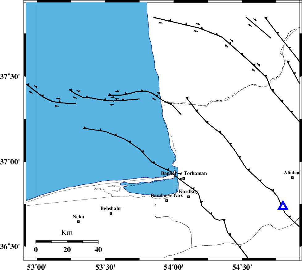
| Region | Caspian Sea, 34 km North-West of Bandar-e torkaman |
Nearest Cities |
|
| 17 km North West of Gomishtappeh, Golestan Province | |
| 33 km North West of Banavar, Golestan Province | |
| 34 km North West of Bandar-e torkaman, Golestan Province | |
| 37 km North West of Sijval, Golestan Province | |
| 46 km North of Bandar-e gaz, Golestan Province | |
| Depth | 15 km |
| Agency | |
Faults within 150 km: |
|
| KHAZAR_F (Length: 523 km) , Distance to epicenter: 48 km | |
| N_ALBORZ_F (Length: 360 km) , Distance to epicenter: 75 km | |
| SHAVAR_F (Length: 87 km) , Distance to epicenter: 81 km | |
| Number of Phases | 7 |
| RMS | 0.5 |
| Number of Stations | 7 |
| Error in Latitude | >7.7 km |
| Error in Longitude | 3.9 km |
| Error in Depth | 0 km |
Download waveform in seisan format
to download seisan software Click here
to access information about IIEES stations Click here
Amplitude | ||||||||
| UID | Agency | Station | Component | Amplitude | Period | Arrival Time | Proccessing Time | Signal Clip |
| 92057 | IIEES | GRMI | N | 3 | 0.19 | 2014-03-24 04:13:33 | 2014-03-24 07:06:00 | n |
Phase | ||||||||||||
| Agency | Station | Component | Phase Type | Phase Quality | First Motion | Observed Arrival Time | Time Residual | Loc. Flag | Input Weight | Distance | Azimuth | |
| IIEES | CHTH | Z | Pn | E | 2014-03-24 04:12:04 | 0.63 | y | 287 | 241 | |||
| IIEES | BJRD | Z | Pn | E | 2014-03-24 04:12:07 | 0.39 | y | 314 | 78 | |||
| IIEES | ASAO | Z | Pn | E | 2014-03-24 04:12:25 | 0.25 | y | 457 | 231 | |||
| IIEES | ZNJK | Z | Pn | E | 2014-03-24 04:12:26 | 0.07 | y | 470 | 265 | |||
| IIEES | TABS | Z | Pn | E | 2014-03-24 04:12:28 | -0.34 | y | 488 | 142 | |||
| IIEES | YZKH | Z | Pn | E | 2014-03-24 04:12:34 | -0.58 | y | 535 | 173 | |||
| IIEES | GRMI | Z | Pn | E | 2014-03-24 04:12:36 | -0.99 | y | 559 | 291 | |||