
Magnitude |
:2.1 |
| Date & Time (UTC) | 2014-03-21 19:44:17.5 |
| Date & Time (Local) | 1393/1/1 23:14:17.5 |
| Location | Lat:34.79 Lon: 50.64 |
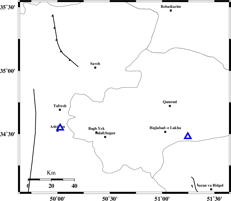
| Region | Qom Province, 26 km North-West of Qom |
Nearest Cities |
|
| 10 km North East of Gazran, Qom Province | |
| 22 km South East of Taraznahid, Markazi Province | |
| 26 km North West of Qom, Qom Province | |
| 28 km South East of Qareh chay, Markazi Province | |
| 35 km South East of Yalabad, Markazi Province | |
| Depth | 8 km |
| Agency | |
Faults within 150 km: |
|
| INDES_F (Length: 98 km) , Distance to epicenter: 23 km | |
| KUSHK_E_NOSRAT_F (Length: 230 km) , Distance to epicenter: 27 km | |
| S_PARANDAK_F (Length: 116 km) , Distance to epicenter: 54 km | |
| Number of Phases | 4 |
| RMS | 0.3 |
| Number of Stations | 4 |
| Error in Latitude | >4.4 km |
| Error in Longitude | 4.7 km |
| Error in Depth | 9.5 km |
Download waveform in seisan format
to download seisan software Click here
to access information about IIEES stations Click here
Amplitude | ||||||||
| UID | Agency | Station | Component | Amplitude | Period | Arrival Time | Proccessing Time | Signal Clip |
| 92040 | IIEES | ASAO | E | 98.4 | 0.44 | 2014-03-21 19:44:37 | 2014-03-21 08:12:00 | n |
| 92041 | IIEES | ASAO | N | 132 | 0.64 | 2014-03-21 19:44:40 | 2014-03-21 08:12:00 | n |
| 92042 | IIEES | GHVR | E | 134.1 | 0.52 | 2014-03-21 19:44:47 | 2014-03-21 08:12:00 | n |
| 92043 | IIEES | GHVR | N | 66.1 | 0.4 | 2014-03-21 19:44:49 | 2014-03-21 08:12:00 | n |
| 92044 | IIEES | ZNJK | N | 8.8 | 0.4 | 2014-03-21 19:45:37 | 2014-03-21 08:12:00 | n |
Phase | ||||||||||||
| Agency | Station | Component | Phase Type | Phase Quality | First Motion | Observed Arrival Time | Time Residual | Loc. Flag | Input Weight | Distance | Azimuth | |
| IIEES | ASAO | Z | Pg | E | 2014-03-21 19:44:28 | -0.25 | y | 62.5 | 244 | |||
| IIEES | GHVR | Z | Pg | E | 2014-03-21 19:44:29 | 0.11 | y | 65.7 | 122 | |||
| IIEES | CHTH | Z | Pg | E | 2014-03-21 19:44:40 | -0.33 | y | 131 | 20 | |||
| IIEES | ZNJK | Z | Pn | E | 2014-03-21 19:45:00 | 0.48 | y | 273 | 320 | |||