
Magnitude |
:1.9 |
| Date & Time (UTC) | 2014-03-06 08:39:06.8 |
| Date & Time (Local) | 1392/12/15 12:09:06.8 |
| Location | Lat:35.63 Lon: 51.29 |
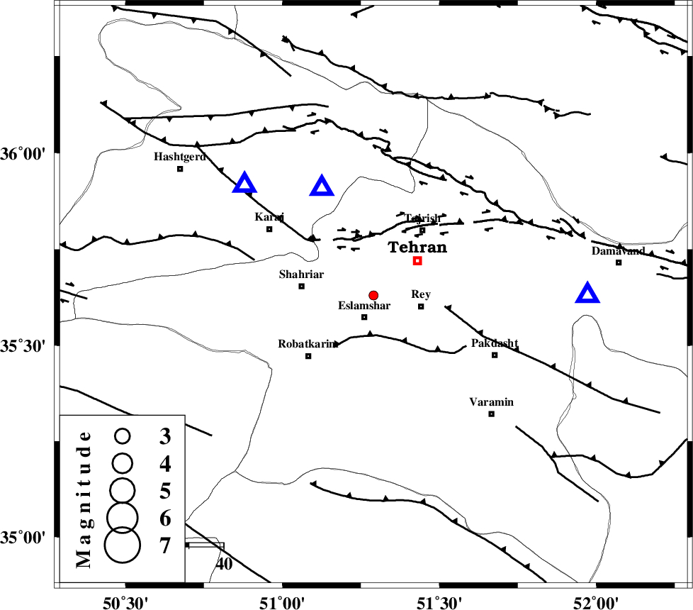
| Region | Tehran Province, 7 km Eslamshahr |
Nearest Cities |
|
| 2 km North of Firooz bahram, Tehran Province | |
| 7 km North of Eslamshahr, Tehran Province | |
| 8 km North of Deh abbas, Tehran Province | |
| 12 km West of Tehran, Tehran Province | |
| 14 km North West of Rey, Tehran Province | |
| Depth | 15 km |
| Agency | |
Faults within 150 km: |
|
| KAHRIZAK_F (Length: 44 km) , Distance to epicenter: 11 km | |
| N_TEHRAN_F4 (Length: 115 km) , Distance to epicenter: 16 km | |
| EYVANEKEY_F (Length: 74 km) , Distance to epicenter: 21 km | |
| Number of Phases | 3 |
| RMS | 0 |
| Number of Stations | 3 |
| Error in Latitude | >1.3 km |
| Error in Longitude | 5 km |
| Error in Depth | 0 km |
Download waveform in seisan format
to download seisan software Click here
to access information about IIEES stations Click here
Amplitude | ||||||||
| UID | Agency | Station | Component | Amplitude | Period | Arrival Time | Proccessing Time | Signal Clip |
| 91934 | IIEES | GHVR | N | 12.3 | 0.36 | 2014-03-06 08:39:49 | 2014-03-06 03:31:00 | n |
| 91935 | IIEES | ASAO | N | 23.3 | 0.44 | 2014-03-06 08:40:01 | 2014-03-06 03:31:00 | n |
| 91936 | IIEES | ASAO | E | 23.6 | 0.44 | 2014-03-06 08:40:02 | 2014-03-06 03:31:00 | n |
Phase | ||||||||||||
| Agency | Station | Component | Phase Type | Phase Quality | First Motion | Observed Arrival Time | Time Residual | Loc. Flag | Input Weight | Distance | Azimuth | |
| IIEES | CHTH | Z | Pg | E | 2014-03-06 08:39:13 | 0 | y | 33.9 | 334 | |||
| IIEES | GHVR | Z | Pg | E | 2014-03-06 08:39:28 | 0 | y | 128 | 182 | |||
| IIEES | ASAO | Z | Pg | E | 2014-03-06 08:39:34 | 0 | y | 167 | 224 | |||