
Magnitude |
:3.3 |
| Date & Time (UTC) | 2013-12-24 10:53:58.9 |
| Date & Time (Local) | 1392/10/3 14:23:58.9 |
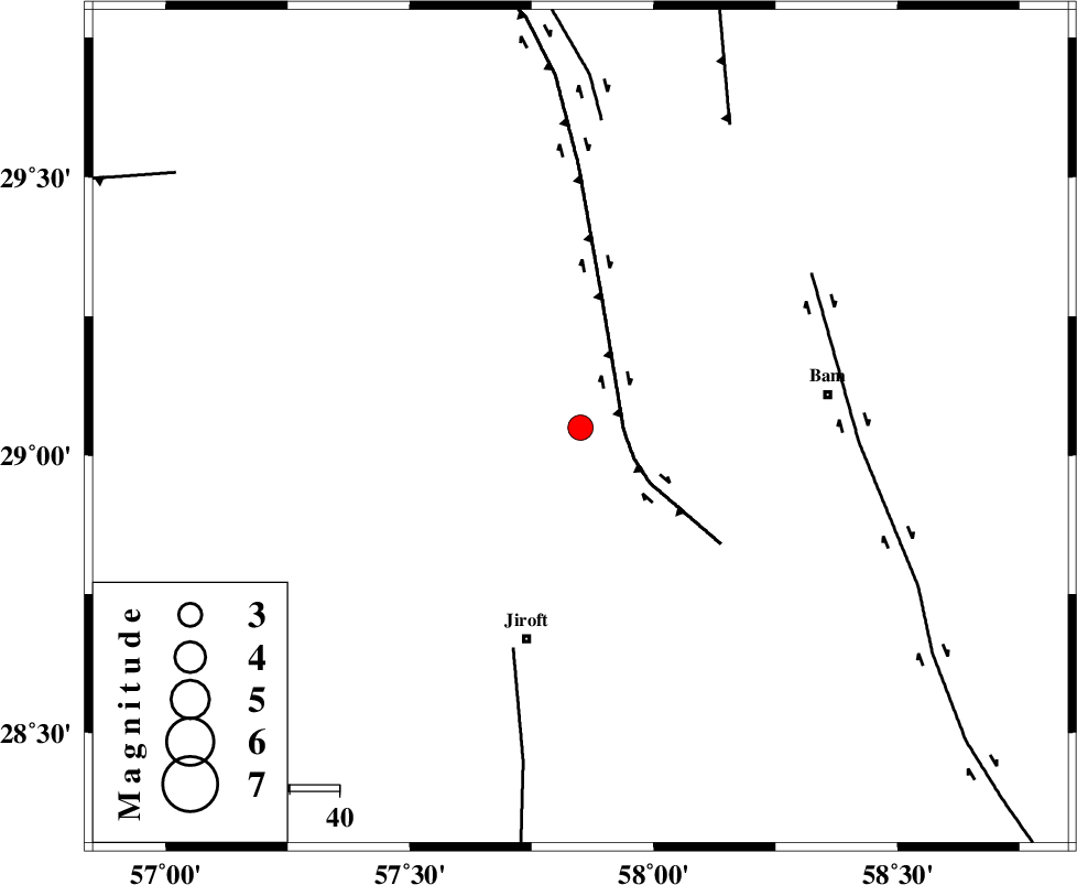
| Location | Lat:29.05 Lon: 57.85 |
| Region | Kerman Province, 43 km North-East of Jiroft |
Nearest Cities |
|
| 17 km North of Mohammadabad, Kerman Province | |
| 24 km North of Saghdar, Kerman Province | |
| 25 km North East of Delfard, Kerman Province | |
| 28 km North East of Sahebabad, Kerman Province | |
| 41 km North West of Mijan-e sofla, Kerman Province | |
| Depth | 18 km |
| Agency | |
Faults within 150 km: |
|
| GOWK_F (Length: 152 km) , Distance to epicenter: 9 km | |
| SABZEVARAN_F (Length: 190 km) , Distance to epicenter: 46 km | |
| BAM_F (Length: 118 km) , Distance to epicenter: 55 km | |
| Number of Phases | 5 |
| RMS | 0.2 |
| Number of Stations | 4 |
| Error in Latitude | >5.1 km |
| Error in Longitude | 3.1 km |
| Error in Depth | 7.4 km |
Download waveform in seisan format
to download seisan software Click here
to access information about IIEES stations Click here
Amplitude | ||||||||
| UID | Agency | Station | Component | Amplitude | Period | Arrival Time | Proccessing Time | Signal Clip |
| 91258 | IIEES | KRBR | E | 488.2 | 0.16 | 2013-12-24 10:54:40 | 2013-12-24 11:33:00 | n |
| 91259 | IIEES | KRBR | N | 430.6 | 0.16 | 2013-12-24 10:54:42 | 2013-12-24 11:33:00 | n |
Phase | ||||||||||||
| Agency | Station | Component | Phase Type | Phase Quality | First Motion | Observed Arrival Time | Time Residual | Loc. Flag | Input Weight | Distance | Azimuth | |
| IIEES | ZHSF | Z | Pn | E | 2013-12-24 10:54:42 | -0.12 | y | 291 | 77 | |||
| IIEES | ZHSF | N | Sg | E | 2013-12-24 10:55:21 | 0.24 | y | 291 | 77 | |||
| IIEES | BSRN | Z | Pn | E | 2013-12-24 10:54:49 | -0.09 | y | 346 | 21 | |||
| IIEES | BSRN | N | Sg | E | 2013-12-24 10:55:35 | -0.26 | y | 346 | 21 | |||
| IIEES | YZKH | N | Sg | E | 2013-12-24 10:56:14 | 0.27 | y | 484 | 321 | |||