
Magnitude |
:4.1 |
| Date & Time (UTC) | 2013-05-20 20:33:48.2 |
| Date & Time (Local) | 1392/2/31 01:03:48.2 |
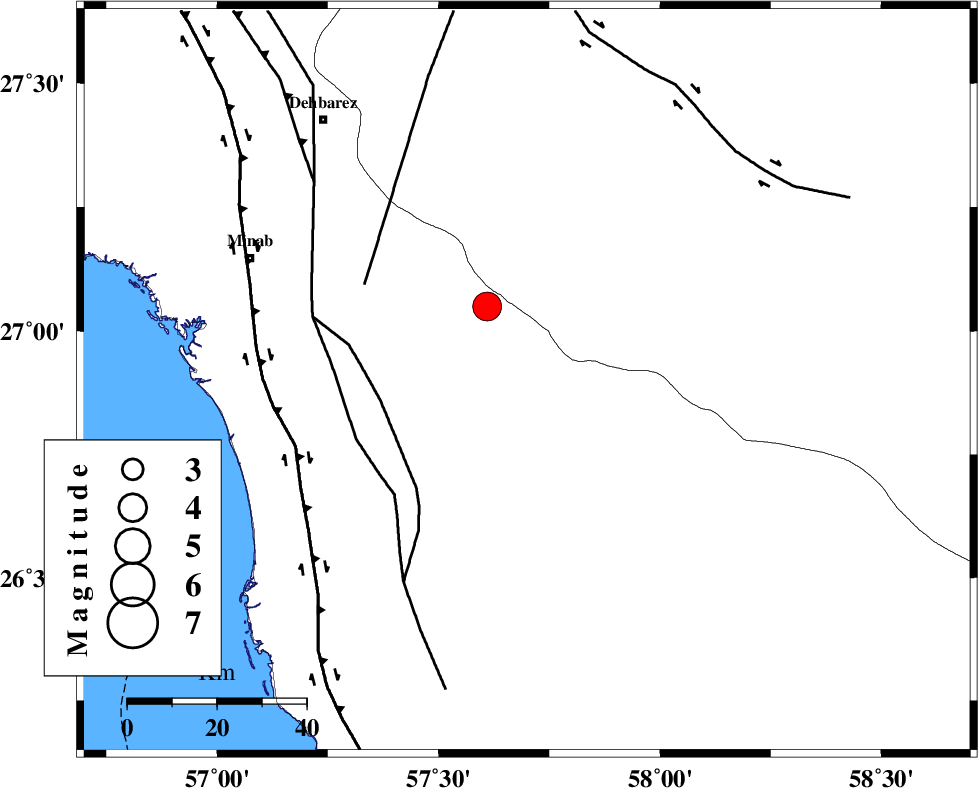
| Location | Lat:26.9 Lon: 57.7 |
| Region | Hormozgan Province, 60 km South-East of Manujan |
Nearest Cities |
|
| 28 km North East of Sanadrak, Hormozgan Province | |
| 31 km North East of Darpahn, Hormozgan Province | |
| 32 km South West of Keshmiran, Kerman Province | |
| 39 km North West of Angahran, Hormozgan Province | |
| 48 km East of Koryan, Hormozgan Province | |
| Depth | 16 km |
| Agency | |
Faults within 150 km: |
|
| SABZEVARAN_F (Length: 190 km) , Distance to epicenter: 34 km | |
| ZENDAN_MINAB_F_Z2 (Length: 63 km) , Distance to epicenter: 43 km | |
| ZENDAN_MINAB_F_Z1 (Length: 183 km) , Distance to epicenter: 44 km | |
| Number of Phases | 5 |
| RMS | 0.1 |
| Number of Stations | 5 |
| Error in Latitude | >3.5 km |
| Error in Longitude | 2.7 km |
| Error in Depth | 7.1 km |
Download waveform in seisan format
to download seisan software Click here
to access information about IIEES stations Click here
Amplitude | ||||||||
| UID | Agency | Station | Component | Amplitude | Period | Arrival Time | Proccessing Time | Signal Clip |
| 89367 | IIEES | KRBR | E | 461.5 | 0.84 | 2013-05-20 20:35:43 | 2013-05-20 10:22:00 | n |
Phase | ||||||||||||
| Agency | Station | Component | Phase Type | Phase Quality | First Motion | Observed Arrival Time | Time Residual | Loc. Flag | Input Weight | Distance | Azimuth | |
| IIEES | CHBR | Z | Pn | E | 2013-05-20 20:34:34 | -0.03 | y | 313 | 117 | |||
| IIEES | CHBR | E | Sg | E | 2013-05-20 20:35:16 | 0 | y | 313 | 117 | |||
| IIEES | ZHSF | Z | P | E | 2013-05-20 20:34:48 | 0.07 | y | 426 | 44 | |||
| IIEES | GHIR | Z | P | E | 2013-05-20 20:34:56 | 0.07 | y | 490 | 289 | |||
| IIEES | YZKH | Z | P | E | 2013-05-20 20:35:20 | -0.16 | y | 679 | 334 | |||