
Magnitude |
:2.4 |
| Date & Time (UTC) | 2013-02-11 05:08:14.1 |
| Date & Time (Local) | 1391/11/23 08:38:14.1 |
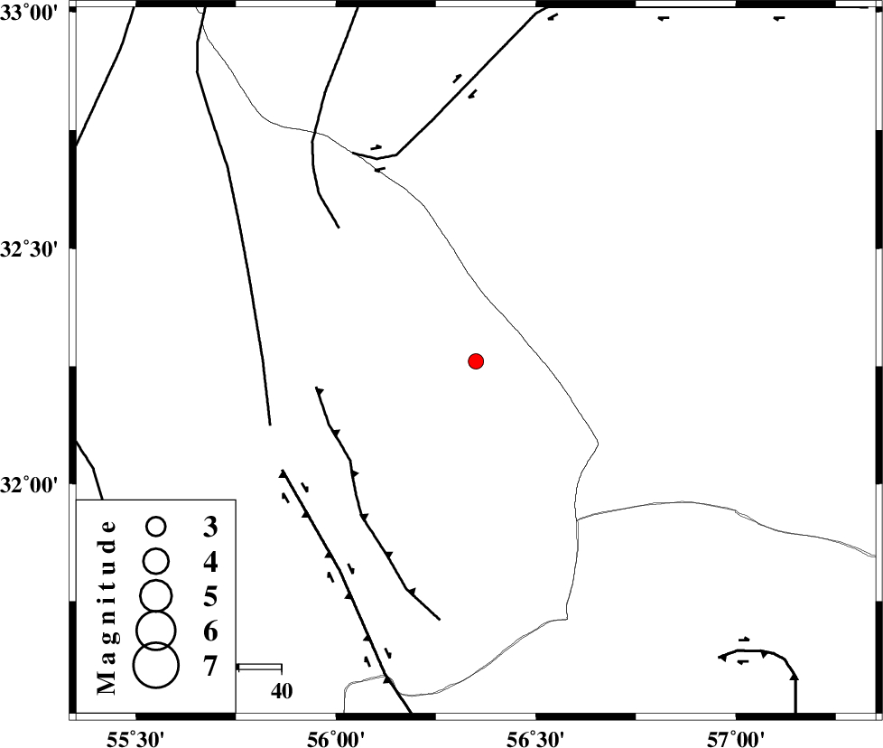
| Location | Lat:32.26 Lon: 56.35 |
| Region | Yazd Province, 119 km North-West of Ravar |
Nearest Cities |
|
| 53 km North East of Behabad, Yazd Province | |
| 64 km North East of Benestan, Yazd Province | |
| 67 km North East of Asfih, Yazd Province | |
| 79 km North East of Kushk, Yazd Province | |
| 94 km North East of Basab, Yazd Province | |
| Depth | 14 km |
| Agency | |
Faults within 150 km: |
|
| JAFARABAD_F (Length: 60 km) , Distance to epicenter: 37 km | |
| NAINI_F (Length: 342 km) , Distance to epicenter: 45 km | |
| SARBALA_F (Length: 92 km) , Distance to epicenter: 50 km | |
| Number of Phases | 5 |
| RMS | 0.1 |
| Number of Stations | 3 |
| Error in Latitude | >1.3 km |
| Error in Longitude | 2.8 km |
| Error in Depth | 5.8 km |
Download waveform in seisan format
to download seisan software Click here
to access information about IIEES stations Click here
Amplitude | ||||||||
| UID | Agency | Station | Component | Amplitude | Period | Arrival Time | Proccessing Time | Signal Clip |
| 87857 | IIEES | KRBR | N | 21.1 | 0.21 | 2013-02-11 05:09:27 | 2013-02-11 05:28:00 | n |
Phase | ||||||||||||
| Agency | Station | Component | Phase Type | Phase Quality | First Motion | Observed Arrival Time | Time Residual | Loc. Flag | Input Weight | Distance | Azimuth | |
| IIEES | YZKH | Z | Pg | E | 2013-02-11 05:08:41 | -0.06 | y | 166 | 275 | |||
| IIEES | TABS | Z | Pg | E | 2013-02-11 05:08:42 | 0.2 | y | 169 | 25 | |||
| IIEES | TABS | N | Sg | E | 2013-02-11 05:09:02 | -0.16 | y | 169 | 25 | |||
| IIEES | KRBR | Z | Pn | E | 2013-02-11 05:08:54 | 0.15 | y | 256 | 171 | |||
| IIEES | KRBR | N | Sg | E | 2013-02-11 05:09:26 | -0.13 | y | 256 | 171 | |||