
Magnitude |
:3.4 |
| Date & Time (UTC) | 2012-12-15 11:34:32.9 |
| Date & Time (Local) | 1391/9/25 15:04:32.9 |
| Location | Lat:31.93 Lon: 49.41 |
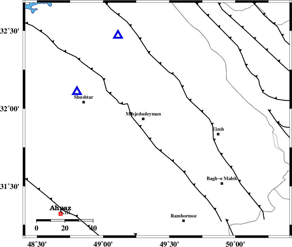
| Region | Khoozestan Province, 10 km East of Masjed Soleyman |
Nearest Cities |
|
| 10 km East of Masjed Soleyman, Khoozestan Province | |
| 31 km South of Qale-yekhvaju, Khoozestan Province | |
| 38 km North West of Chenarestan, Khoozestan Province | |
| 38 km North West of Rasvand, Khoozestan Province | |
| 40 km South East of Haft shahidan, Khoozestan Province | |
| Depth | 14 km |
| Agency | |
Faults within 150 km: |
|
| DEZFUL_EMBAYMENT (Length: 228 km) , Distance to epicenter: 13 km | |
| MFF2 (Length: 205 km) , Distance to epicenter: 26 km | |
| ZARDKUH_F (Length: 139 km) , Distance to epicenter: 74 km | |
| Number of Phases | 6 |
| RMS | 0.2 |
| Number of Stations | 4 |
| Error in Latitude | >5.1 km |
| Error in Longitude | 4.2 km |
| Error in Depth | 9.1 km |
Download waveform in seisan format
to download seisan software Click here
to access information about IIEES stations Click here
Amplitude | ||||||||
| UID | Agency | Station | Component | Amplitude | Period | Arrival Time | Proccessing Time | Signal Clip |
| 87348 | IIEES | SHGR | N | 2915.8 | 0.14 | 2012-12-15 11:34:52 | 2012-12-15 12:01:00 | n |
| 87349 | IIEES | SHGR | E | 2433.1 | 0.17 | 2012-12-15 11:34:55 | 2012-12-15 12:01:00 | n |
Phase | ||||||||||||
| Agency | Station | Component | Phase Type | Phase Quality | First Motion | Observed Arrival Time | Time Residual | Loc. Flag | Input Weight | Distance | Azimuth | |
| IIEES | SHGR | Z | Pg | E | 2012-12-15 11:34:43 | -0.02 | y | 60.4 | 289 | |||
| IIEES | SHGR | N | Sg | E | 2012-12-15 11:34:51 | 0 | y | 60.4 | 289 | |||
| IIEES | KHMZ | Z | Pn | E | 2012-12-15 11:35:06 | 0.28 | y | 207 | 14 | |||
| IIEES | KHMZ | N | Sg | E | 2012-12-15 11:35:31 | 0 | y | 207 | 14 | |||
| IIEES | GHVR | Z | Pn | E | 2012-12-15 11:35:21 | -0.36 | y | 330 | 31 | |||
| IIEES | TABS | Z | Pn | E | 2012-12-15 11:36:13 | 0.13 | y | 747 | 73 | |||