
Magnitude |
:4.3 |
| Date & Time (UTC) | 2012-12-14 10:10:27.4 |
| Date & Time (Local) | 1391/9/24 13:40:27.4 |
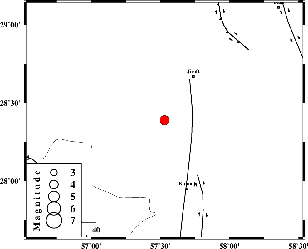
| Location | Lat:28.39 Lon: 57.53 |
| Region | Kerman Province, 37 km South-West of Jiroft |
Nearest Cities |
|
| 20 km North of Bolock, Kerman Province | |
| 27 km South West of Khatunabad-e zangian, Kerman Province | |
| 30 km North East of Hurpasefid, Kerman Province | |
| 32 km South West of Khesrabad, Kerman Province | |
| 33 km West of Aliabad-e qadiri, Kerman Province | |
| Depth | 14 km |
| Agency | |
Faults within 150 km: |
|
| SABZEVARAN_F (Length: 190 km) , Distance to epicenter: 21 km | |
| JIROFT_F (Length: 144 km) , Distance to epicenter: 45 km | |
| GOWK_F (Length: 152 km) , Distance to epicenter: 77 km | |
| Number of Phases | 5 |
| RMS | 0.2 |
| Number of Stations | 5 |
| Error in Latitude | >4 km |
| Error in Longitude | 4.6 km |
| Error in Depth | 7.2 km |
Download waveform in seisan format
to download seisan software Click here
to access information about IIEES stations Click here
Amplitude | ||||||||
| UID | Agency | Station | Component | Amplitude | Period | Arrival Time | Proccessing Time | Signal Clip |
| 87340 | IIEES | KRBR | E | 2212.5 | 0.52 | 2012-12-14 10:11:19 | 2012-12-14 11:49:00 | n |
| 87341 | IIEES | KRBR | N | 2700.7 | 0.48 | 2012-12-14 10:11:27 | 2012-12-14 11:49:00 | n |
| 87342 | IIEES | AHRM | N | 205 | 0.4 | 2012-12-14 10:12:49 | 2012-12-14 11:49:00 | n |
| 87343 | IIEES | AHRM | E | 136.6 | 0.44 | 2012-12-14 10:12:53 | 2012-12-14 11:49:00 | n |
Phase | ||||||||||||
| Agency | Station | Component | Phase Type | Phase Quality | First Motion | Observed Arrival Time | Time Residual | Loc. Flag | Input Weight | Distance | Azimuth | |
| IIEES | KRBR | Z | Pg | E | 2012-12-14 10:10:59 | -0.19 | y | 192 | 337 | |||
| IIEES | CHBR | Z | Pn | E | 2012-12-14 10:11:27 | -0.04 | y | 426 | 136 | |||
| IIEES | YZKH | Z | Pn | E | 2012-12-14 10:11:41 | 0.33 | y | 526 | 328 | |||
| IIEES | AHRM | Z | Pn | E | 2012-12-14 10:11:51 | -0.04 | y | 612 | 276 | |||
| IIEES | SHRT | Z | Pn | E | 2012-12-14 10:11:54 | 0.07 | y | 640 | 24 | |||