
Magnitude |
:2.7 |
| Date & Time (UTC) | 2012-12-12 22:00:51.9 |
| Date & Time (Local) | 1391/9/23 01:30:51.9 |
| Location | Lat:29.9 Lon: 50.77 |
| Region | Fars Province, 50 km South of Dogonbadan |
Nearest Cities |
|
| 32 km North East of Mohammad salehi, Bushehr Province | |
| 39 km North of Chehar rustaee, Bushehr Province | |
| 44 km North East of Bandar-e genaveh, Bushehr Province | |
| 45 km South West of Babamonir, Fars Province | |
| 46 km South East of Siyahmakan-e bozorg, Bushehr Province | |
| Depth | 14 km |
| Agency | |
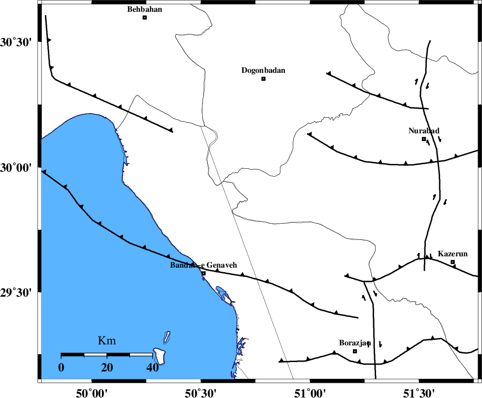
Faults within 150 km: |
|
| ZFF3 (Length: 125 km) , Distance to epicenter: 17 km | |
| RAG_E_SEFID_F (Length: 84 km) , Distance to epicenter: 47 km | |
| MISHAN_F (Length: 76 km) , Distance to epicenter: 53 km | |
| Number of Phases | 4 |
| RMS | 0 |
| Number of Stations | 3 |
| Error in Latitude | >6 km |
| Error in Longitude | 6.9 km |
| Error in Depth | 16.5 km |
Download waveform in seisan format
to download seisan software Click here
to access information about IIEES stations Click here
Amplitude | ||||||||
| UID | Agency | Station | Component | Amplitude | Period | Arrival Time | Proccessing Time | Signal Clip |
| 87329 | IIEES | AHRM | N | 175.3 | 0.48 | 2012-12-12 22:01:30 | 2012-12-13 03:18:00 | n |
| 87330 | IIEES | AHRM | E | 167.8 | 0.36 | 2012-12-12 22:01:32 | 2012-12-13 03:18:00 | n |
Phase | ||||||||||||
| Agency | Station | Component | Phase Type | Phase Quality | First Motion | Observed Arrival Time | Time Residual | Loc. Flag | Input Weight | Distance | Azimuth | |
| IIEES | AHRM | Z | Pg | E | 2012-12-12 22:01:12 | -0.02 | y | 126 | 156 | |||
| IIEES | AHRM | E | Sg | E | 2012-12-12 22:01:28 | 0.02 | y | 126 | 156 | |||
| IIEES | KHMZ | Z | Pn | E | 2012-12-12 22:01:53 | 0.01 | y | 433 | 350 | |||
| IIEES | YZKH | Z | Pn | E | 2012-12-12 22:01:56 | -0.01 | y | 457 | 52 | |||