
Magnitude |
:2.9 |
| Date & Time (UTC) | 2012-10-30 19:18:29.7 |
| Date & Time (Local) | 1391/8/9 22:48:29.7 |
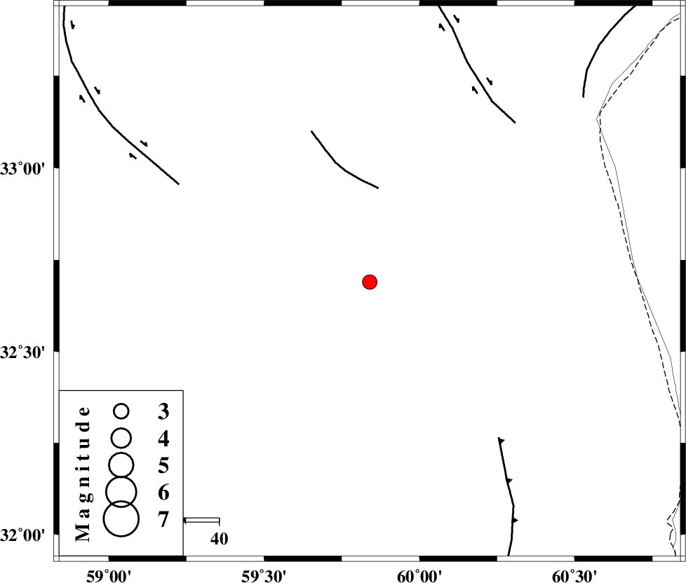
| Location | Lat:32.69 Lon: 59.84 |
| Region | Khorasan(south) Province, 9 km Sarbisheh |
Nearest Cities |
|
| 9 km North of Sarbisheh, Khorasan(south) Province | |
| 14 km North of Salmabad, Khorasan(south) Province | |
| 18 km South of Darmian, Khorasan(south) Province | |
| 31 km South East of Asadieh, Khorasan(south) Province | |
| 32 km East of Mud, Khorasan(south) Province | |
| Depth | 42 km |
| Agency | |
Faults within 150 km: |
|
| NOZAD_F (Length: 27 km) , Distance to epicenter: 28 km | |
| E_NEH_F (Length: 148 km) , Distance to epicenter: 61 km | |
| MOHAMMADABAD_F (Length: 71 km) , Distance to epicenter: 65 km | |
| Number of Phases | 5 |
| RMS | 0.1 |
| Number of Stations | 3 |
| Error in Latitude | >3.4 km |
| Error in Longitude | 5.8 km |
| Error in Depth | 3.1 km |
Download waveform in seisan format
to download seisan software Click here
to access information about IIEES stations Click here
Amplitude | ||||||||
| UID | Agency | Station | Component | Amplitude | Period | Arrival Time | Proccessing Time | Signal Clip |
| 86780 | IIEES | KRBR | E | 19.8 | 0.72 | 2012-10-30 19:20:37 | 2012-10-30 06:44:00 | n |
Phase | ||||||||||||
| Agency | Station | Component | Phase Type | Phase Quality | First Motion | Observed Arrival Time | Time Residual | Loc. Flag | Input Weight | Distance | Azimuth | |
| IIEES | SHRT | Z | Pn | E | 2012-10-30 19:18:48 | -0.16 | y | 114 | 21 | |||
| IIEES | SHRT | N | Sg | E | 2012-10-30 19:19:03 | 0.06 | y | 114 | 21 | |||
| IIEES | TABS | Z | Pn | E | 2012-10-30 19:19:09 | 0.01 | y | 275 | 294 | |||
| IIEES | KRBR | Z | Pn | E | 2012-10-30 19:19:27 | 0.24 | y | 419 | 225 | |||
| IIEES | KRBR | E | Sg | E | 2012-10-30 19:20:24 | -0.13 | y | 419 | 225 | |||