
Magnitude |
:3 |
| Date & Time (UTC) | 2012-10-05 03:16:23.1 |
| Date & Time (Local) | 1391/7/14 06:46:23.1 |
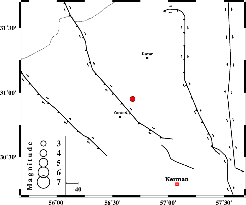
| Location | Lat:30.95 Lon: 56.68 |
| Region | Kerman Province, 19 km North-East of Zarand |
Nearest Cities |
|
| 8 km of Ahmadi, Kerman Province | |
| 15 km North West of Hatkan, Kerman Province | |
| 17 km South East of Dasht-e khak, Kerman Province | |
| 19 km North East of Zarand, Kerman Province | |
| 23 km North East of Mohammadabad, Kerman Province | |
| Depth | 15 km |
| Agency | |
Faults within 150 km: |
|
| KUHBANAN_F (Length: 189 km) , Distance to epicenter: 19 km | |
| CHATRUD_F (Length: 37 km) , Distance to epicenter: 47 km | |
| LAKARKUH_F (Length: 138 km) , Distance to epicenter: 48 km | |
| Number of Phases | 4 |
| RMS | 0.6 |
| Number of Stations | 5 |
| Error in Latitude | >12.6 km |
| Error in Longitude | 4.6 km |
| Error in Depth | 0 km |
Download waveform in seisan format
to download seisan software Click here
to access information about IIEES stations Click here
Amplitude | ||||||||
| UID | Agency | Station | Component | Amplitude | Period | Arrival Time | Proccessing Time | Signal Clip |
| 86412 | IIEES | KRBR | N | 504.6 | 0.3 | 2012-10-05 03:16:38 | 2012-10-05 03:40:00 | n |
| 86413 | IIEES | TABS | N | 54.5 | 0.6 | 2012-10-05 03:17:56 | 2012-10-05 03:40:00 | n |
Phase | ||||||||||||
| Agency | Station | Component | Phase Type | Phase Quality | First Motion | Observed Arrival Time | Time Residual | Loc. Flag | Input Weight | Distance | Azimuth | |
| IIEES | YZKH | Z | Pn | E | 2012-10-05 03:17:01 | -0.82 | y | 254 | 309 | |||
| IIEES | TABS | Z | Pn | E | 2012-10-05 03:17:08 | 0.18 | y | 302 | 8 | |||
| IIEES | NASN | E | Pn | E | 2012-10-05 03:17:24 | 0.9 | y | 420 | 300 | |||
| IIEES | ZHSF | Z | Pn | E | 2012-10-05 03:17:23 | -0.05 | y | 421 | 110 | |||