
Magnitude |
:3 |
| Date & Time (UTC) | 2012-09-26 22:58:34.8 |
| Date & Time (Local) | 1391/7/6 02:28:34.8 |
| Location | Lat:30.2 Lon: 51.26 |
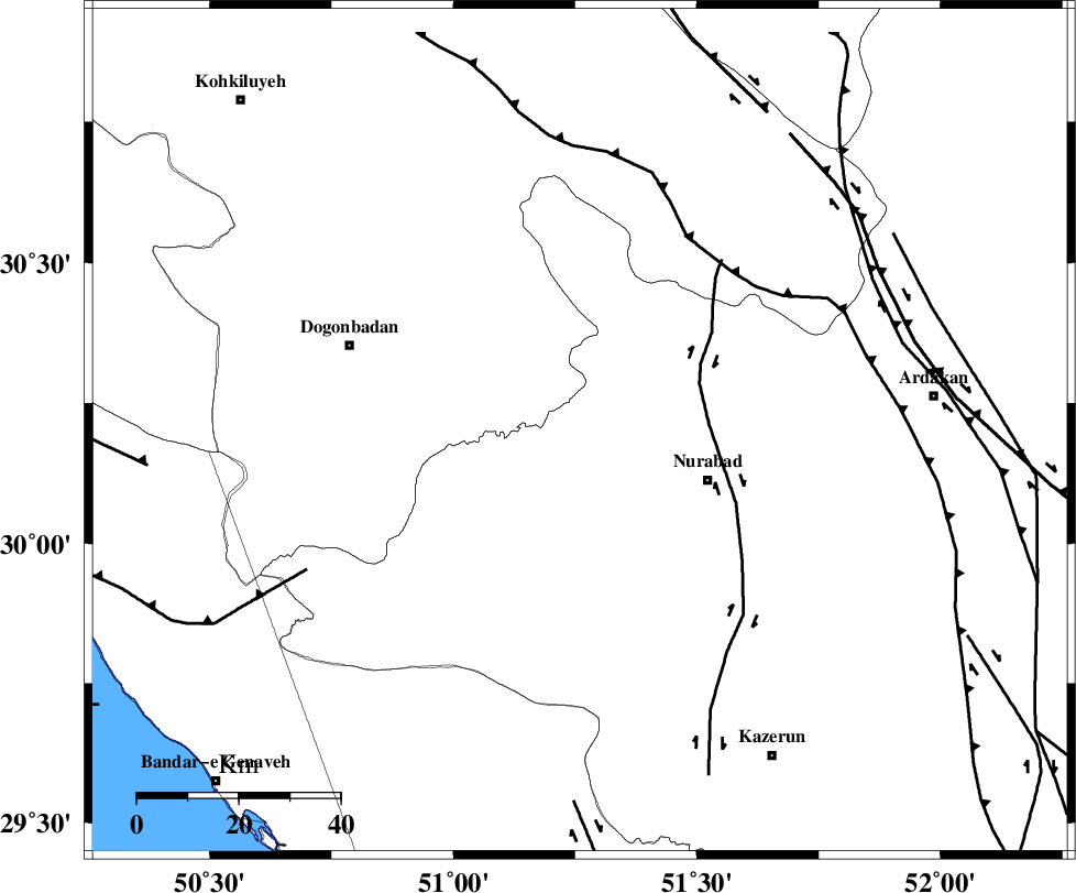
| Region | Fars Province, 27 km West of Nurabad |
Nearest Cities |
|
| 16 km South of Kopon olia, Fars Province | |
| 16 km North of Babamonir, Fars Province | |
| 17 km South West of Dehnumoqimi, Fars Province | |
| 18 km North West of Ahangari, Fars Province | |
| 19 km North West of Fahlian-e olia, Fars Province | |
| Depth | 46 km |
| Agency | |
Faults within 150 km: |
|
| MISHAN_F (Length: 76 km) , Distance to epicenter: 3 km | |
| KAZERUN_F (Length: 96 km) , Distance to epicenter: 25 km | |
| HZF3 (Length: 197 km) , Distance to epicenter: 67 km | |
| Number of Phases | 5 |
| RMS | 0 |
| Number of Stations | 3 |
| Error in Latitude | >2.6 km |
| Error in Longitude | 3 km |
| Error in Depth | 4.3 km |
Download waveform in seisan format
to download seisan software Click here
to access information about IIEES stations Click here
Amplitude | ||||||||
| UID | Agency | Station | Component | Amplitude | Period | Arrival Time | Proccessing Time | Signal Clip |
| 86317 | IIEES | AHRM | N | 239 | 0.48 | 2012-09-26 22:59:22 | 2012-09-27 04:23:00 | n |
| 86318 | IIEES | AHRM | E | 206.1 | 0.56 | 2012-09-26 22:59:27 | 2012-09-27 04:23:00 | n |
| 86319 | IIEES | GHIR | E | 82.2 | 0.44 | 2012-09-26 23:00:03 | 2012-09-27 04:23:00 | n |
Phase | ||||||||||||
| Agency | Station | Component | Phase Type | Phase Quality | First Motion | Observed Arrival Time | Time Residual | Loc. Flag | Input Weight | Distance | Azimuth | |
| IIEES | AHRM | Z | Pg | E | 2012-09-26 22:58:59 | 0.02 | y | 147 | 178 | |||
| IIEES | AHRM | E | Sg | E | 2012-09-26 22:59:17 | -0.01 | y | 147 | 178 | |||
| IIEES | GHIR | Z | Pn | E | 2012-09-26 22:59:13 | -0.03 | y | 270 | 141 | |||
| IIEES | GHIR | E | Sg | E | 2012-09-26 22:59:49 | 0.02 | y | 270 | 141 | |||
| IIEES | KHMZ | Z | Pn | E | 2012-09-26 22:59:30 | 0.01 | y | 412 | 343 | |||