
Magnitude |
:2.9 |
| Date & Time (UTC) | 2012-09-09 12:32:56.3 |
| Date & Time (Local) | 1391/6/19 17:02:56.3 |
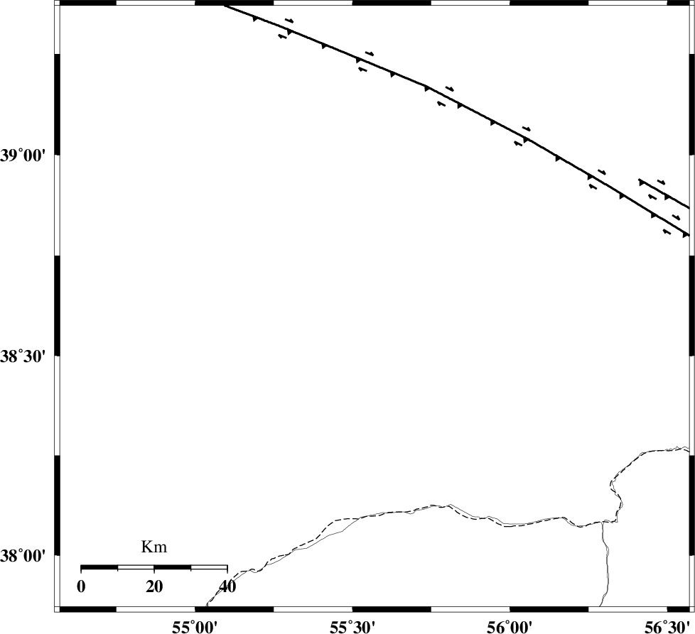
| Location | Lat:38.62 Lon: 55.57 |
| Region | Turkmenistan |
Nearest Cities |
|
| 74 km North of Karand, Golestan Province | |
| 87 km North West of Moravehtappeh, Golestan Province | |
| 94 km North of Qareh aghaj, Golestan Province | |
| 99 km North West of Qazanqayeh, Golestan Province | |
| 112 km North West of Yekehsoud-e paeen, Khorasan(north) Province | |
| Depth | 14 km |
| Agency | |
Faults within 150 km: |
|
| MAIN_KOPEHDAGH_F1 (Length: 318 km) , Distance to epicenter: 63 km | |
| MAIN_KOPEHDAGH_F2 (Length: 131 km) , Distance to epicenter: 81 km | |
| Number of Phases | 4 |
| RMS | 0 |
| Number of Stations | 3 |
| Error in Latitude | >6.8 km |
| Error in Longitude | 3.6 km |
| Error in Depth | 5.4 km |
Download waveform in seisan format
to download seisan software Click here
to access information about IIEES stations Click here
Amplitude | ||||||||
| UID | Agency | Station | Component | Amplitude | Period | Arrival Time | Proccessing Time | Signal Clip |
| 86059 | IIEES | MRVT | E | 319.3 | 0.56 | 2012-09-09 12:33:34 | 2012-09-09 01:08:00 | n |
| 86060 | IIEES | BJRD | N | 103.2 | 0.72 | 2012-09-09 12:33:55 | 2012-09-09 01:08:00 | n |
| 86061 | IIEES | BJRD | E | 111.6 | 0.64 | 2012-09-09 12:33:56 | 2012-09-09 01:08:00 | n |
Phase | ||||||||||||
| Agency | Station | Component | Phase Type | Phase Quality | First Motion | Observed Arrival Time | Time Residual | Loc. Flag | Input Weight | Distance | Azimuth | |
| IIEES | MRVT | Z | Pg | E | 2012-09-09 12:33:15 | -0.04 | y | 116 | 157 | |||
| IIEES | BJRD | Z | Pg | E | 2012-09-09 12:33:27 | -0.01 | y | 191 | 122 | |||
| IIEES | BJRD | N | Sg | E | 2012-09-09 12:33:50 | 0.02 | y | 191 | 122 | |||
| IIEES | SHRO | Z | Pn | E | 2012-09-09 12:33:40 | 0.04 | y | 293 | 172 | |||