
Magnitude |
:2.5 |
| Date & Time (UTC) | 2012-09-06 18:47:01.1 |
| Date & Time (Local) | 1391/6/16 23:17:01.1 |
| Location | Lat:37.74 Lon: 48.08 |
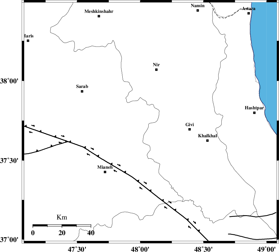
| Region | Azarbaijan Sharghi Province, 28 km West of Givi |
Nearest Cities |
|
| 7 km of Armodaq, Azarbaijan Sharghi Province | |
| 17 km North West of Ganjgah, Ardebil Province | |
| 21 km North West of Firuz Abad, Ardebil Province | |
| 27 km South of Qarehshiran, Ardebil Province | |
| 28 km North West of Givi, Ardebil Province | |
| Depth | 18 km |
| Agency | |
Faults within 150 km: |
|
| BOZQUSH (Length: 70 km) , Distance to epicenter: 16 km | |
| SANGAVAR_F (Length: 61 km) , Distance to epicenter: 22 km | |
| MASULEL_F (Length: 90 km) , Distance to epicenter: 34 km | |
| Number of Phases | 5 |
| RMS | 0 |
| Number of Stations | 3 |
| Error in Latitude | >0.8 km |
| Error in Longitude | 4.3 km |
| Error in Depth | 3.7 km |
Download waveform in seisan format
to download seisan software Click here
to access information about IIEES stations Click here
Amplitude | ||||||||
| UID | Agency | Station | Component | Amplitude | Period | Arrival Time | Proccessing Time | Signal Clip |
| 85997 | IIEES | GRMI | N | 86.4 | 0.16 | 2012-09-06 18:47:39 | 2012-09-07 01:54:00 | n |
| 85998 | IIEES | GRMI | E | 138.1 | 0.28 | 2012-09-06 18:47:42 | 2012-09-07 01:54:00 | n |
Phase | ||||||||||||
| Agency | Station | Component | Phase Type | Phase Quality | First Motion | Observed Arrival Time | Time Residual | Loc. Flag | Input Weight | Distance | Azimuth | |
| IIEES | GRMI | Z | Pg | E | 2012-09-06 18:47:21 | -0.04 | y | 120 | 352 | |||
| IIEES | GRMI | N | Sg | E | 2012-09-06 18:47:36 | 0.02 | y | 120 | 352 | |||
| IIEES | ZNJK | Z | Pg | E | 2012-09-06 18:47:22 | 0.01 | y | 130 | 155 | |||
| IIEES | SNGE | Z | Pn | E | 2012-09-06 18:47:45 | -0.01 | y | 301 | 193 | |||
| IIEES | SNGE | E | Sg | E | 2012-09-06 18:48:25 | 0.02 | y | 301 | 193 | |||