
Magnitude |
:2.7 |
| Date & Time (UTC) | 2012-08-09 11:06:40.6 |
| Date & Time (Local) | 1391/5/19 15:36:40.6 |
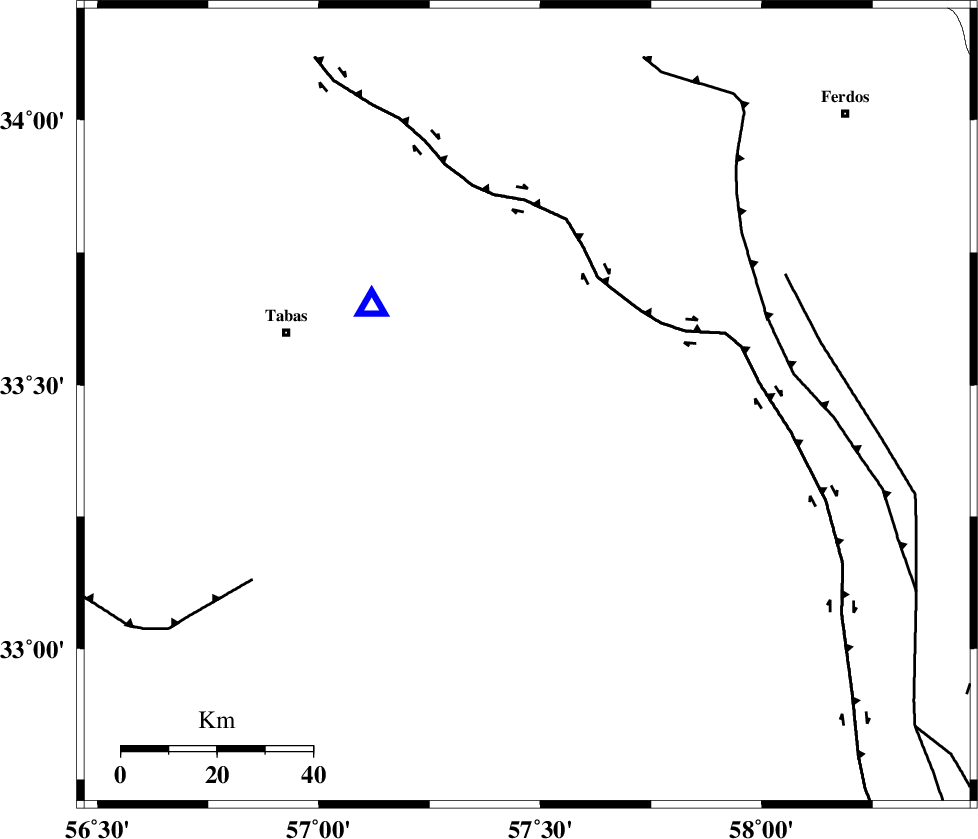
| Location | Lat:33.46 Lon: 57.47 |
| Region | Yazd Province, 53 km South-East of Tabas |
Nearest Cities |
|
| 19 km North of Dihuk, Yazd Province | |
| 27 km South of Arsak, Khorasan(center) Province | |
| 44 km South East of Reqqeh, Khorasan(center) Province | |
| 45 km South of Boshravieh, Khorasan(center) Province | |
| 48 km North West of Arababad, Yazd Province | |
| Depth | 11 km |
| Agency | |
Faults within 150 km: |
|
| ESFARDIAR_F (Length: 94 km) , Distance to epicenter: 5 km | |
| TABAS_F1 (Length: 91 km) , Distance to epicenter: 30 km | |
| TABAS_F2 (Length: 67 km) , Distance to epicenter: 33 km | |
| Number of Phases | 5 |
| RMS | 0 |
| Number of Stations | 3 |
| Error in Latitude | >1.7 km |
| Error in Longitude | 4.8 km |
| Error in Depth | 3.9 km |
Download waveform in seisan format
to download seisan software Click here
to access information about IIEES stations Click here
Amplitude | ||||||||
| UID | Agency | Station | Component | Amplitude | Period | Arrival Time | Proccessing Time | Signal Clip |
| 84903 | IIEES | KRBR | E | 15.5 | 0.47 | 2012-08-09 11:08:32 | 2012-08-11 07:14:00 | n |
Phase | ||||||||||||
| Agency | Station | Component | Phase Type | Phase Quality | First Motion | Observed Arrival Time | Time Residual | Loc. Flag | Input Weight | Distance | Azimuth | |
| IIEES | TABS | Z | Pg | E | 2012-08-09 11:06:47 | -0.03 | y | 39 | 303 | |||
| IIEES | TABS | N | Sg | E | 2012-08-09 11:06:53 | 0.02 | y | 39 | 303 | |||
| IIEES | SHRO | Z | Pn | E | 2012-08-09 11:07:27 | 0 | y | 313 | 335 | |||
| IIEES | KRBR | Z | Pn | E | 2012-08-09 11:07:37 | 0.04 | y | 391 | 190 | |||
| IIEES | KRBR | N | Sn | 2012-08-09 11:08:19 | -0.02 | y | 391 | 190 | ||||