
Magnitude |
:2.5 |
| Date & Time (UTC) | 2012-08-02 15:52:00.3 |
| Date & Time (Local) | 1391/5/12 20:22:00.3 |
| Location | Lat:31.46 Lon: 56.78 |
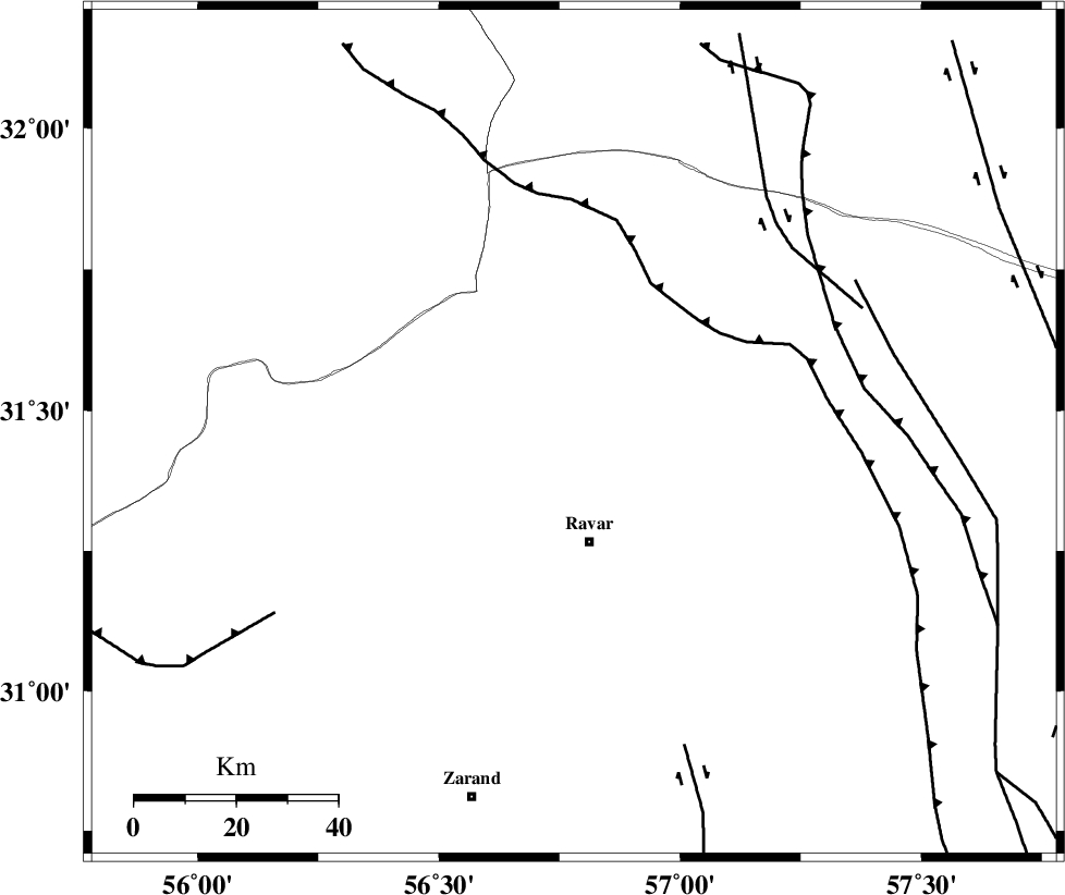
| Region | Kerman Province, 22 km North of Ravar |
Nearest Cities |
|
| 15 km North of Dehali, Kerman Province | |
| 22 km North of Ravar, Kerman Province | |
| 46 km North East of Kuhbanan, Kerman Province | |
| 48 km North East of Jor, Kerman Province | |
| 49 km North East of Toghroljerd, Kerman Province | |
| Depth | 14 km |
| Agency | |
Faults within 150 km: |
|
| LAKARKUH_F (Length: 138 km) , Distance to epicenter: 25 km | |
| KUHBANAN_F (Length: 189 km) , Distance to epicenter: 50 km | |
| JAFARABAD_F (Length: 60 km) , Distance to epicenter: 57 km | |
| Number of Phases | 4 |
| RMS | 0.1 |
| Number of Stations | 3 |
| Error in Latitude | >3 km |
| Error in Longitude | 3.8 km |
| Error in Depth | 6.8 km |
Download waveform in seisan format
to download seisan software Click here
to access information about IIEES stations Click here
Amplitude | ||||||||
| UID | Agency | Station | Component | Amplitude | Period | Arrival Time | Proccessing Time | Signal Clip |
| 84728 | IIEES | KRBR | N | 92.7 | 0.2 | 2012-08-02 15:52:48 | 2012-08-02 04:22:00 | n |
| 84729 | IIEES | KRBR | E | 98.2 | 0.24 | 2012-08-02 15:52:49 | 2012-08-02 04:22:00 | n |
| 84730 | IIEES | YZKH | E | 21.5 | 0.4 | 2012-08-02 15:53:09 | 2012-08-02 04:22:00 | n |
Phase | ||||||||||||
| Agency | Station | Component | Phase Type | Phase Quality | First Motion | Observed Arrival Time | Time Residual | Loc. Flag | Input Weight | Distance | Azimuth | |
| IIEES | KRBR | Z | Pg | E | 2012-08-02 15:52:27 | -0.02 | y | 164 | 181 | |||
| IIEES | YZKH | Z | Pn | E | 2012-08-02 15:52:37 | 0.17 | y | 231 | 297 | |||
| IIEES | YZKH | N | Sg | E | 2012-08-02 15:53:05 | -0.06 | y | 231 | 297 | |||
| IIEES | TABS | N | Pn | E | 2012-08-02 15:52:38 | -0.09 | y | 245 | 7 | |||