
Magnitude |
:2.5 |
| Date & Time (UTC) | 2012-07-29 12:10:38.1 |
| Date & Time (Local) | 1391/5/8 16:40:38.1 |
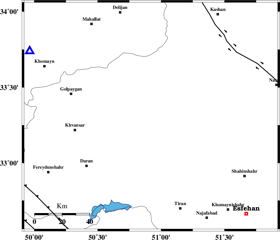
| Location | Lat:33.31 Lon: 50.92 |
| Region | Esfahan Province, 56 km East of Khvansar |
Nearest Cities |
|
| 15 km South East of Hasan robat, Esfahan Province | |
| 23 km North of Dehaq, Esfahan Province | |
| 27 km South West of Vazvan, Esfahan Province | |
| 27 km West of Vandadeh, Esfahan Province | |
| 28 km South West of Meymeh, Esfahan Province | |
| Depth | 14 km |
| Agency | |
Faults within 150 km: |
|
| KASHAN_F (Length: 44 km) , Distance to epicenter: 78 km | |
| ZEFREH_F (Length: 124 km) , Distance to epicenter: 78 km | |
| MAIN_ZAGROS_R_F (Length: 1106 km) , Distance to epicenter: 101 km | |
| Number of Phases | 5 |
| RMS | 0 |
| Number of Stations | 3 |
| Error in Latitude | >2.7 km |
| Error in Longitude | 1.5 km |
| Error in Depth | 4.2 km |
Download waveform in seisan format
to download seisan software Click here
to access information about IIEES stations Click here
Amplitude | ||||||||
| UID | Agency | Station | Component | Amplitude | Period | Arrival Time | Proccessing Time | Signal Clip |
| 84665 | IIEES | KHMZ | N | 139.3 | 0.36 | 2012-07-29 12:11:09 | 2012-07-29 02:59:00 | n |
Phase | ||||||||||||
| Agency | Station | Component | Phase Type | Phase Quality | First Motion | Observed Arrival Time | Time Residual | Loc. Flag | Input Weight | Distance | Azimuth | |
| IIEES | KHMZ | Z | Pg | E | 2012-07-29 12:10:55 | 0.06 | y | 100 | 299 | |||
| IIEES | KHMZ | N | Sg | E | 2012-07-29 12:11:07 | -0.06 | y | 100 | 299 | |||
| IIEES | GHVR | Z | Pg | E | 2012-07-29 12:11:00 | 0.01 | y | 133 | 13 | |||
| IIEES | NASN | Z | Pn | E | 2012-07-29 12:11:09 | 0.04 | y | 186 | 107 | |||
| IIEES | NASN | N | Sg | E | 2012-07-29 12:11:31 | -0.04 | y | 186 | 107 | |||