
Magnitude |
:3 |
| Date & Time (UTC) | 2012-07-18 06:54:05.6 |
| Date & Time (Local) | 1391/4/28 11:24:05.6 |
| Location | Lat:31 Lon: 57.34 |
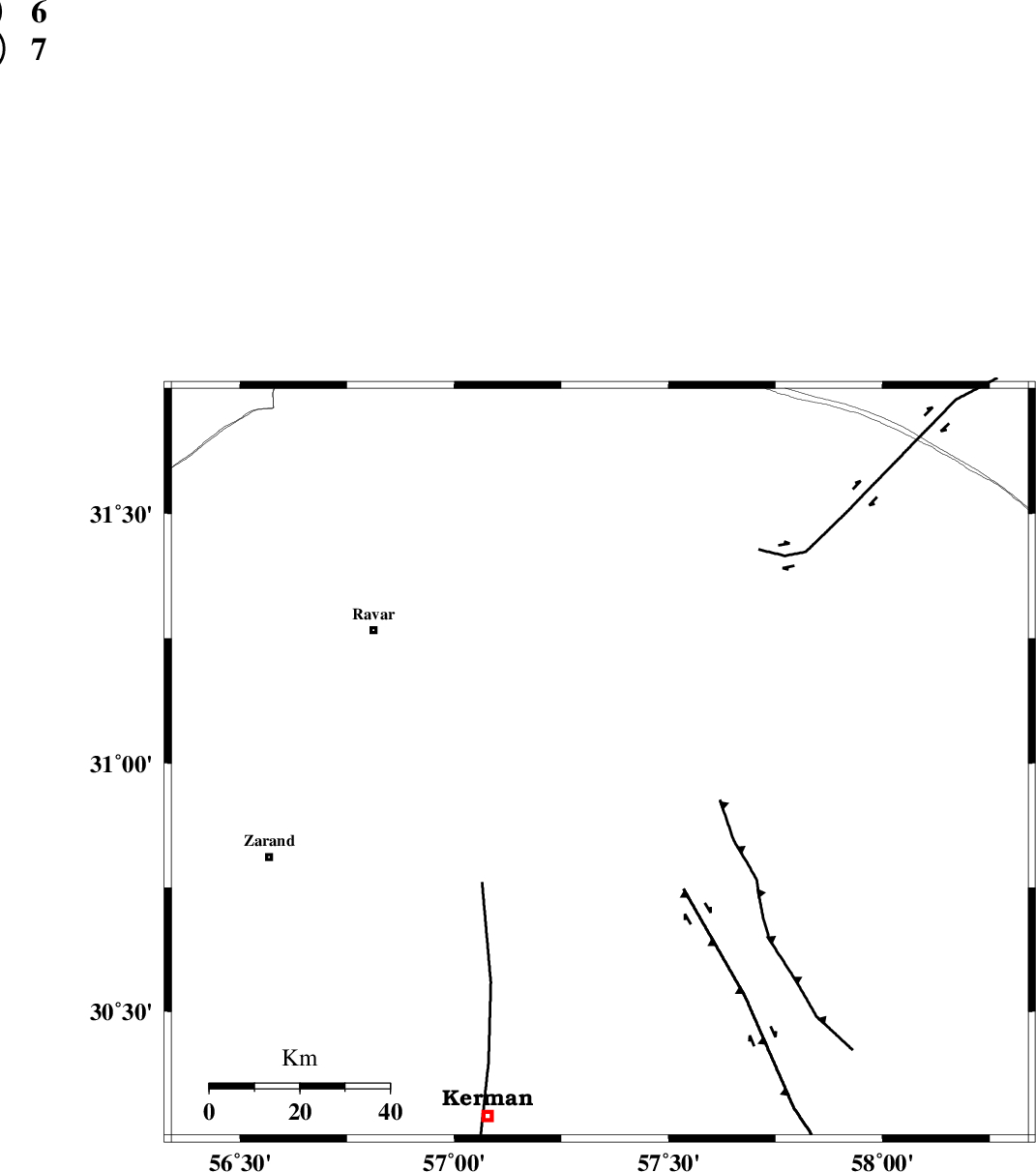
| Region | Kerman Province, 58 km South-East of Ravar |
Nearest Cities |
|
| 43 km North East of Harjand, Kerman Province | |
| 44 km North East of Hejdak, Kerman Province | |
| 56 km North of Dehlulu, Kerman Province | |
| 56 km North East of Hatkan, Kerman Province | |
| 58 km South East of Ravar, Kerman Province | |
| Depth | 14 km |
| Agency | |
Faults within 150 km: |
|
| NAYBAND_F (Length: 258 km) , Distance to epicenter: 19 km | |
| LAKARKUH_F (Length: 138 km) , Distance to epicenter: 20 km | |
| GOLBAF_SIRCH_F (Length: 114 km) , Distance to epicenter: 47 km | |
| Number of Phases | 5 |
| RMS | 0.2 |
| Number of Stations | 4 |
| Error in Latitude | >1.6 km |
| Error in Longitude | 5.9 km |
| Error in Depth | 6.4 km |
Download waveform in seisan format
to download seisan software Click here
to access information about IIEES stations Click here
Amplitude | ||||||||
| UID | Agency | Station | Component | Amplitude | Period | Arrival Time | Proccessing Time | Signal Clip |
| 84488 | IIEES | TABS | N | 68 | 0.51 | 2012-07-18 06:55:40 | 2012-07-18 07:32:00 | n |
Phase | ||||||||||||
| Agency | Station | Component | Phase Type | Phase Quality | First Motion | Observed Arrival Time | Time Residual | Loc. Flag | Input Weight | Distance | Azimuth | |
| IIEES | KRBR | Z | Pg | E | 2012-07-18 06:54:26 | -0.09 | y | 126 | 206 | |||
| IIEES | TABS | Z | Pn | E | 2012-07-18 06:54:50 | 0.2 | y | 294 | 356 | |||
| IIEES | TABS | E | Sg | E | 2012-07-18 06:55:28 | -0.23 | y | 294 | 356 | |||
| IIEES | ZHSF | Z | Pn | E | 2012-07-18 06:54:58 | -0.05 | y | 365 | 114 | |||
| IIEES | SHRO | Z | Pn | E | 2012-07-18 06:55:24 | 0.28 | y | 569 | 348 | |||