
Magnitude |
:2.8 |
| Date & Time (UTC) | 2012-05-25 01:25:32.4 |
| Date & Time (Local) | 1391/3/5 05:55:32.4 |
| Location | Lat:26.87 Lon: 54.08 |
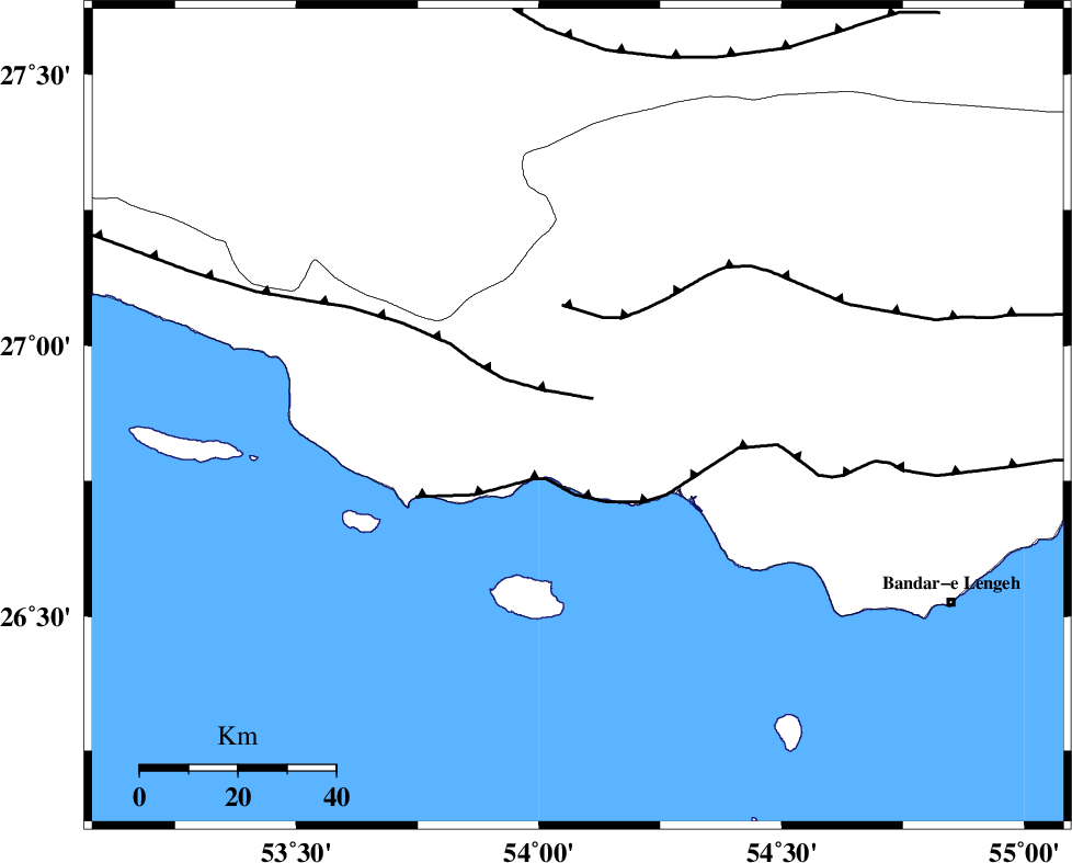
| Region | Hormozgan Province, 46 km South-West of Bastak |
Nearest Cities |
|
| 26 km South West of Jenah, Hormozgan Province | |
| 46 km South West of Bastak, Hormozgan Province | |
| 48 km South East of Ahl, Fars Province | |
| 61 km South East of Ashkenan, Fars Province | |
| 70 km South of Bagh, Fars Province | |
| Depth | 14 km |
| Agency | |
Faults within 150 km: |
|
| MFF3 (Length: 292 km) , Distance to epicenter: 5 km | |
| ZFF1 (Length: 165 km) , Distance to epicenter: 14 km | |
| MFF1 (Length: 180 km) , Distance to epicenter: 21 km | |
| Number of Phases | 5 |
| RMS | 0.1 |
| Number of Stations | 3 |
| Error in Latitude | >9.9 km |
| Error in Longitude | 4 km |
| Error in Depth | 8.7 km |
Download waveform in seisan format
to download seisan software Click here
to access information about IIEES stations Click here
Amplitude | ||||||||
| UID | Agency | Station | Component | Amplitude | Period | Arrival Time | Proccessing Time | Signal Clip |
| 83760 | IIEES | GHIR | N | 124.5 | 0.44 | 2012-05-25 01:26:28 | 2012-05-25 02:41:00 | n |
| 83761 | IIEES | GHIR | E | 111.8 | 0.36 | 2012-05-25 01:26:33 | 2012-05-25 02:41:00 | n |
| 83762 | IIEES | BNDS | N | 66.3 | 0.64 | 2012-05-25 01:26:38 | 2012-05-25 02:41:00 | n |
| 83763 | IIEES | BNDS | E | 52.2 | 0.36 | 2012-05-25 01:26:39 | 2012-05-25 02:41:00 | n |
Phase | ||||||||||||
| Agency | Station | Component | Phase Type | Phase Quality | First Motion | Observed Arrival Time | Time Residual | Loc. Flag | Input Weight | Distance | Azimuth | |
| IIEES | GHIR | Z | Pn | E | 2012-05-25 01:26:03 | -0.04 | y | 190 | 326 | |||
| IIEES | GHIR | E | Sg | E | 2012-05-25 01:26:26 | -0.02 | y | 190 | 326 | |||
| IIEES | BNDS | Z | Pn | E | 2012-05-25 01:26:07 | -0.02 | y | 216 | 74 | |||
| IIEES | BNDS | E | Sg | E | 2012-05-25 01:26:33 | -0.05 | y | 216 | 74 | |||
| IIEES | KRBR | E | Pn | E | 2012-05-25 01:26:34 | 0.16 | y | 434 | 37 | |||