
Magnitude |
:3.8 |
| Date & Time (UTC) | 2012-05-19 18:24:33.5 |
| Date & Time (Local) | 1391/2/30 22:54:33.5 |
| Location | Lat:32.76 Lon: 46.84 |
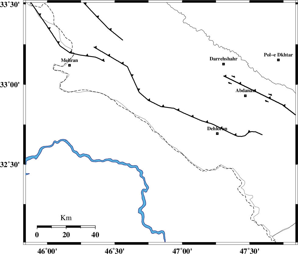
| Region | Ilam Province, 40 km West of Dehloran |
Nearest Cities |
|
| 15 km West of Bishehzar, Ilam Province | |
| 40 km North West of Dehloran, Ilam Province | |
| 53 km South of Meymeh, Ilam Province | |
| 54 km North West of Musian, Ilam Province | |
| 58 km South West of Badreh, Ilam Province | |
| Depth | 15 km |
| Agency | |
Faults within 150 km: |
|
| MFF6 (Length: 144 km) , Distance to epicenter: 11 km | |
| BALARUD_F_Z1 (Length: 87 km) , Distance to epicenter: 54 km | |
| ZFF4 (Length: 128 km) , Distance to epicenter: 58 km | |
| Number of Phases | 4 |
| RMS | 0 |
| Number of Stations | 3 |
| Error in Latitude | >2.9 km |
| Error in Longitude | 8.5 km |
| Error in Depth | 4.4 km |
Download waveform in seisan format
to download seisan software Click here
to access information about IIEES stations Click here
Amplitude | ||||||||
| UID | Agency | Station | Component | Amplitude | Period | Arrival Time | Proccessing Time | Signal Clip |
| 83708 | IIEES | SHGR | E | 1625.3 | 0.64 | 2012-05-19 18:25:32 | 2012-05-19 07:17:00 | n |
| 83709 | IIEES | SHGR | N | 1053.9 | 0.6 | 2012-05-19 18:25:40 | 2012-05-19 07:17:00 | n |
| 83710 | IIEES | SNGE | E | 193.2 | 0.6 | 2012-05-19 18:25:59 | 2012-05-19 07:17:00 | n |
Phase | ||||||||||||
| Agency | Station | Component | Phase Type | Phase Quality | First Motion | Observed Arrival Time | Time Residual | Loc. Flag | Input Weight | Distance | Azimuth | |
| IIEES | SHGR | Z | Pg | E | 2012-05-19 18:25:06 | 0 | y | 198 | 111 | |||
| IIEES | SNGE | Z | Pn | E | 2012-05-19 18:25:13 | 0 | y | 263 | 10 | |||
| IIEES | SNGE | E | Sg | E | 2012-05-19 18:25:47 | 0 | y | 263 | 10 | |||
| IIEES | KHMZ | Z | Pn | E | 2012-05-19 18:25:19 | 0 | y | 311 | 69 | |||