
Magnitude |
:2.8 |
| Date & Time (UTC) | 2012-05-14 17:18:46.9 |
| Date & Time (Local) | 1391/2/25 21:48:46.9 |
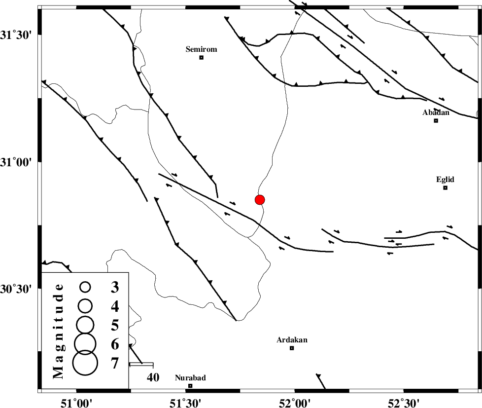
| Location | Lat:30.85 Lon: 51.84 |
| Region | Fars Province, 37 km East of Sisakht |
Nearest Cities |
|
| 3 km of Bideh, Esfahan Province | |
| 17 km West of Khosro-o-shirin, Fars Province | |
| 32 km North East of Yasuj, Kohkiluieh va boyerahmad Province | |
| 33 km South East of Kameh, Esfahan Province | |
| 35 km North West of Sedeh, Fars Province | |
| Depth | 14 km |
| Agency | |
Faults within 150 km: |
|
| HZF3 (Length: 197 km) , Distance to epicenter: 20 km | |
| DENA_F (Length: 137 km) , Distance to epicenter: 21 km | |
| KAZERUN_F (Length: 96 km) , Distance to epicenter: 47 km | |
| Number of Phases | 5 |
| RMS | 0.1 |
| Number of Stations | 4 |
| Error in Latitude | >2 km |
| Error in Longitude | 5.8 km |
| Error in Depth | 5.4 km |
Download waveform in seisan format
to download seisan software Click here
to access information about IIEES stations Click here
Amplitude | ||||||||
| UID | Agency | Station | Component | Amplitude | Period | Arrival Time | Proccessing Time | Signal Clip |
| 83553 | IIEES | AHRM | N | 120.3 | 0.48 | 2012-05-14 17:19:53 | 2012-05-14 05:39:00 | n |
| 83554 | IIEES | AHRM | E | 79.9 | 0.52 | 2012-05-14 17:20:10 | 2012-05-14 05:39:00 | n |
| 83555 | IIEES | KHMZ | E | 24.2 | 0.32 | 2012-05-14 17:20:25 | 2012-05-14 05:39:00 | n |
| 83556 | IIEES | KHMZ | N | 15.8 | 0.32 | 2012-05-14 17:20:27 | 2012-05-14 05:39:00 | n |
Phase | ||||||||||||
| Agency | Station | Component | Phase Type | Phase Quality | First Motion | Observed Arrival Time | Time Residual | Loc. Flag | Input Weight | Distance | Azimuth | |
| IIEES | AHRM | E | Sg | E | 2012-05-14 17:19:50 | -0.02 | y | 226 | 194 | |||
| IIEES | NASN | Z | Pn | E | 2012-05-14 17:19:24 | 0.07 | y | 235 | 23 | |||
| IIEES | NASN | E | Sg | E | 2012-05-14 17:19:53 | -0.05 | y | 235 | 23 | |||
| IIEES | KHMZ | Z | Pn | E | 2012-05-14 17:19:40 | -0.15 | y | 366 | 332 | |||
| IIEES | ASAO | E | Pn | E | 2012-05-14 17:19:50 | 0.17 | y | 444 | 338 | |||