
Magnitude |
:2.6 |
| Date & Time (UTC) | 2012-04-29 21:36:22.8 |
| Date & Time (Local) | 1391/2/11 02:06:22.8 |
| Location | Lat:35.33 Lon: 53.21 |
| Region | Semnan Province, 32 km South-West of Semnan |
Nearest Cities |
|
| 14 km East of Lasjerd, Semnan Province | |
| 14 km South of Sorkheh, Semnan Province | |
| 31 km South of Aftar, Semnan Province | |
| 31 km South West of Semnan, Semnan Province | |
| 34 km South West of Alae, Semnan Province | |
| Depth | 14 km |
| Agency | |
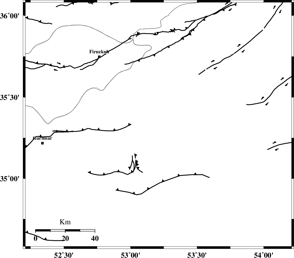
Faults within 150 km: |
|
| KUH_E_GACHAB_F2 (Length: 31 km) , Distance to epicenter: 9 km | |
| KUH_E_GACHAB_F1 (Length: 53 km) , Distance to epicenter: 23 km | |
| ATARI_F (Length: 185 km) , Distance to epicenter: 36 km | |
| Number of Phases | 6 |
| RMS | 0.1 |
| Number of Stations | 4 |
| Error in Latitude | >1.9 km |
| Error in Longitude | 6.8 km |
| Error in Depth | 8.1 km |
Download waveform in seisan format
to download seisan software Click here
to access information about IIEES stations Click here
Amplitude | ||||||||
| UID | Agency | Station | Component | Amplitude | Period | Arrival Time | Proccessing Time | Signal Clip |
| 83184 | IIEES | GHVR | N | 55.4 | 0.8 | 2012-04-29 21:37:24 | 2012-04-30 02:49:00 | n |
| 83185 | IIEES | GHVR | E | 60 | 0.6 | 2012-04-29 21:37:24 | 2012-04-30 02:49:00 | n |
Phase | ||||||||||||
| Agency | Station | Component | Phase Type | Phase Quality | First Motion | Observed Arrival Time | Time Residual | Loc. Flag | Input Weight | Distance | Azimuth | |
| IIEES | DAMV | Z | P | E | 2012-04-29 21:36:42 | 0.03 | y | 117 | 287 | |||
| IIEES | CHTH | Z | P | E | 2012-04-29 21:36:55 | -0.09 | y | 199 | 289 | |||
| IIEES | GHVR | Z | Pn | E | 2012-04-29 21:36:55 | 0.09 | y | 202 | 243 | |||
| IIEES | GHVR | N | Sg | E | 2012-04-29 21:37:20 | -0.04 | y | 202 | 243 | |||
| IIEES | THKV | Z | Pn | E | 2012-04-29 21:36:58 | -0.05 | y | 221 | 288 | |||
| IIEES | THKV | E | Sg | E | 2012-04-29 21:37:25 | 0.06 | y | 221 | 288 | |||